
THE SEARCH THE GULF WATERFRONT COLLECTION
The Gulf Intracoastal Waterway: Where Boating, Commerce and Coastal Real Estate Meet
_(800_x_150_px)_(2).gif)
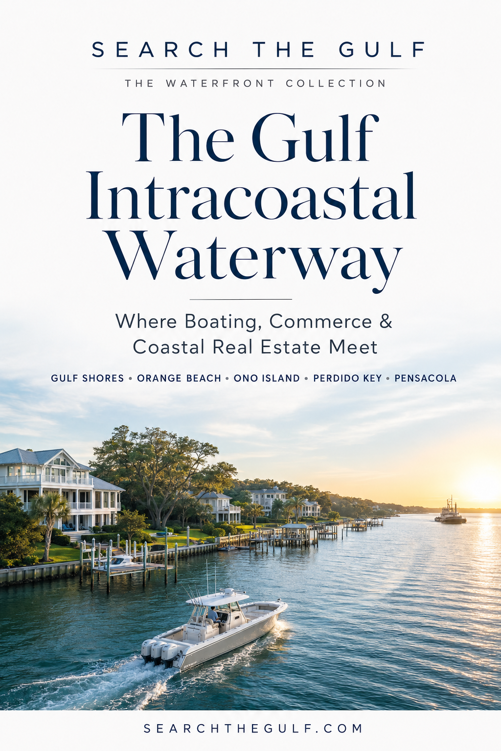
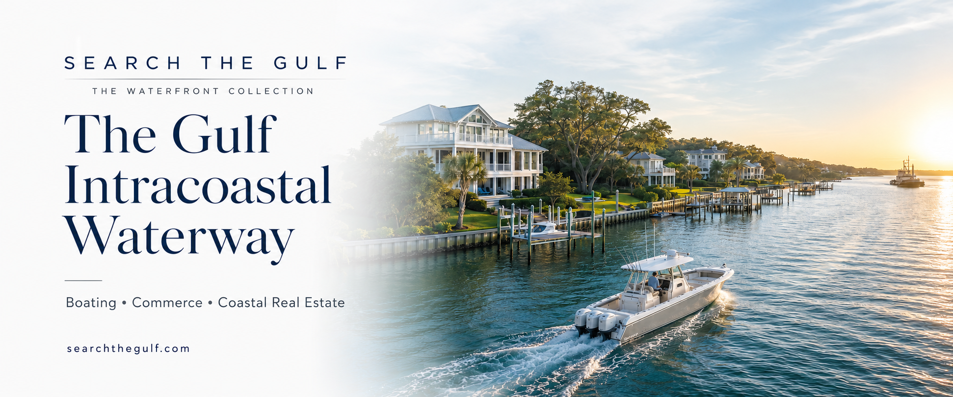
The Gulf Intracoastal Waterway is more than a line on a nautical chart. Along the Alabama and Northwest Florida coast, it is a working waterway, a boating corridor, an ecological transition zone and one of the defining influences on waterfront real estate.
It connects Gulf Shores, Orange Beach, Ono Island, Perdido Key and Pensacola through a remarkable system of bays, sounds, rivers and protected channels. For property owners, it can place boating, fishing, waterfront dining and Gulf access within reach of the backyard. For the region, it supports tourism, marine businesses, transportation and commerce.
01
What Is the Gulf Intracoastal Waterway?
“ICW” is often used as a general abbreviation for the Intracoastal Waterway. Along Alabama and the Florida Panhandle, the more technically precise name is the Gulf Intracoastal Waterway, or GIWW.
The waterway combines naturally protected bays, rivers and sounds with dredged channels and connecting cuts. It gives commercial and recreational vessels a route that is generally more protected than traveling offshore in the open Gulf of Mexico.
Locally, the experience of the waterway changes from one community to another. In some areas, it feels broad, natural and almost riverlike. In others, it becomes an active marine corridor lined with marinas, boatyards, restaurants, residences and new waterfront development.
02
Why Was the Intracoastal Waterway Created?
The idea of a protected Gulf Coast water route reaches back to the early nineteenth century. Military engineers recognized that the Gulf’s bays, sounds and rivers could form part of a safer inland transportation network connecting strategic ports such as Mobile, Pensacola and New Orleans.
Early plans envisioned a protected connection between Pensacola, Mobile and the Mississippi River system. The objective was practical: improve communication, move supplies and reduce dependence on exposed offshore routes.
Federal work on what became the Gulf Intracoastal Waterway advanced during the early twentieth century. By the late 1930s, major sections within the Mobile District had been completed. During World War II, the protected inland route became especially important because German submarines threatened shipping in the Gulf.
Congress subsequently authorized expansion to a more uniform channel measuring approximately 12 feet deep and 125 feet wide through the Mobile District. The wartime improvement allowed petroleum and other essential materials to move through protected waters.
The waterway’s purpose later broadened. In addition to defense and commerce, it became increasingly important to recreational boating, sportfishing, tourism, marinas and waterfront development.
03
Intracoastal Waterway | Search Gulf Coast Homes and Land For Sale
- All Listings
- Under $100,000
- $100,000 - $200,000
- $200,000 - $300,000
- $300,000 - $400,000
- $400,000 - $500,000
- $500,000 - $600,000
- $600,000 - $700,000
- $700,000 - $800,000
- $800,000 - $900,000
- $900,000 - $1,000,000
- Over $1,000,000


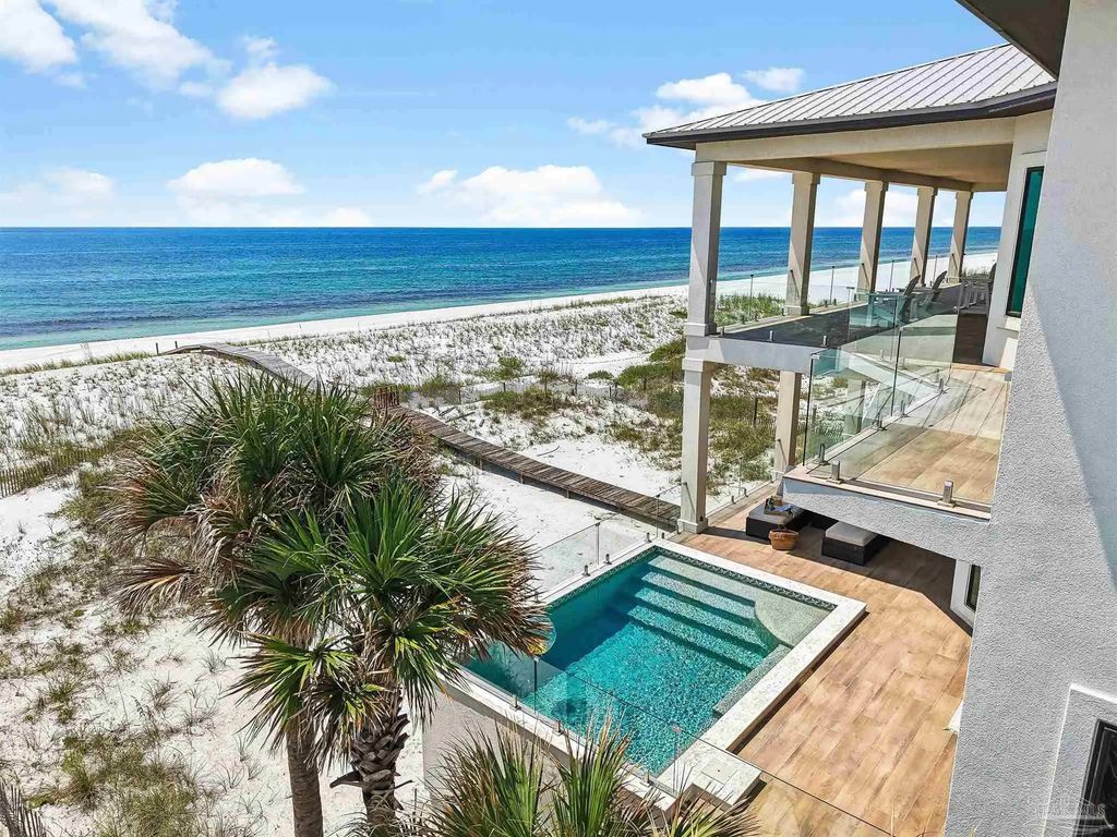


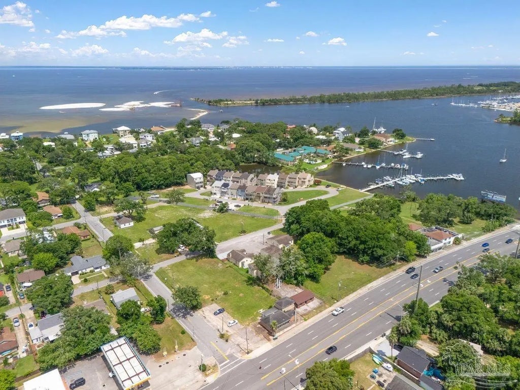
A Working Waterway—and Part of the Coastal Economy
The ICW remains an active commercial route. Towboats and barges use portions of the waterway to transport petroleum products, aggregates, construction materials, agricultural commodities and industrial cargo.
Its economic influence reaches beyond the vessels traveling through the channel. The waterway supports boatyards, marinas, fuel docks, marine contractors, waterfront restaurants, charter businesses, tourism and recreational fishing.
It also contributes to regional resilience. A protected water route can support the movement of equipment and materials while offering an alternative to offshore transportation. Maintenance dredging, navigation markers and shoreline infrastructure are therefore important not only to boaters, but also to the broader Gulf Coast economy.
Buyers should understand that owning on a working waterway may include tradeoffs. Commercial traffic can create wakes, engine noise and periods of increased activity. For some owners, watching boats and barges pass is part of the attraction. Others may prefer a quieter bay, canal or protected cove.
04
The ICW Through Gulf Shores, Orange Beach, Ono Island, Perdido Key and Pensacola
Gulf Shores, Alabama
In Gulf Shores, the ICW is closely connected to the city’s marine economy, waterfront restaurants, boatyards, marinas and growing residential development. The Foley Land Cut section creates an east-west boating corridor north of the Gulf beaches.
Buyers can explore emerging communities, custom homes and Gulf Shores waterway new-construction opportunities designed around docks, boat storage and coastal living.
Orange Beach, Alabama
Orange Beach offers access to an interconnected boating environment that includes the ICW, Wolf Bay, Terry Cove, Cotton Bayou and Perdido Pass.
The result is a highly varied waterfront market. Two homes may be only a few miles apart by road yet offer completely different boating routes, water depths, wake exposure and travel times to the Gulf.
Ono Island, Alabama
Ono Island occupies a distinctive position within this larger waterway system. Bayou St. John, Ole River, Old River, nearby canals and the surrounding bays provide access to the ICW and Perdido Pass boating network.
Explore the current collection of Ono Island Intracoastal Waterway homes and land for sale.
Perdido Key, Florida
Perdido Key lies between the Gulf of Mexico and the protected waters of the Intracoastal system. Big Lagoon and surrounding waterways give residents opportunities to cruise west toward Orange Beach or east toward Pensacola.
This geography makes Perdido Key attractive to buyers who want beach proximity and access to both inshore boating and Gulf routes.
Pensacola, Florida
Pensacola anchors the eastern side of this regional boating network. Pensacola Bay, Big Lagoon and Santa Rosa Sound connect waterfront neighborhoods, marinas, historic districts and military and commercial facilities.
From a real-estate standpoint, Pensacola offers everything from established bayfront estates to boating communities and new residences designed around the water.
05
Why the ICW Matters as Gulf Shores International Airport Expands
Gulf Shores International Airport and the Intracoastal Waterway serve different forms of transportation, but together they strengthen Coastal Alabama’s position as an accessible waterfront destination.
Scheduled commercial airline service began at Gulf Shores International Airport in May 2025. By the 2026 summer season, the airport reported service to 13 nonstop destinations and announced a $15 million terminal expansion with additional boarding areas, expanded baggage claim and increased curbside capacity.
The airport does not depend operationally on the ICW. The real connection is lifestyle and market accessibility.
Easier air travel reduces the time required for second-home owners, buyers and visitors to reach the coast. Once here, the ICW provides a parallel form of mobility—by boat—connecting residences with marinas, restaurants, fishing areas, neighboring communities and Gulf access.
This does not guarantee that airport growth will increase the value of every waterfront property. It does, however, improve regional connectivity—an important consideration in a market shaped by tourism, second-home ownership and out-of-state buyers.
06
Why the Intracoastal Waterway Is Important to Real Estate Values
Waterfront value is rarely created by water alone. It is created by the relationship between the home, the shoreline and the boating experience.
An ICW property may command additional interest when it combines:
- Broad or long-range water views
- Usable water depth at the dock
- A direct, comfortable route to the maintained channel
- Appropriate dock and lift capacity
- Convenient access to Perdido Pass, Pensacola Pass or other boating destinations
- Protected mooring and practical storm preparation
- Sunrise, sunset or passing-vessel views
- Architectural orientation that captures the waterfront
- Privacy from neighboring docks and residences
However, “ICW access” should never be treated as a complete property description. Buyers should investigate the water between the private dock and the federal channel. That approach may be shallower, narrower or less protected than the maintained waterway itself.
Factors that may affect an ICW property’s market position
- Water depth at mean low water and under current conditions
- Distance from the dock to the marked channel
- Current, tide and wind exposure
- Commercial and recreational wake exposure
- Shoreline, seawall, revetment or bulkhead condition
- Dock age, permits, pilings and electrical systems
- Boat-lift capacity, beam, cradle and bunk configuration
- Bridge clearances and vessel air draft along the intended route
- Flood zone, elevation and insurance availability
- Orientation, view corridor and future development nearby
For a broader look at the lifestyle, visit the Search The Gulf guide to Intracoastal Waterway living and real estate.
07
How Deep and Wide Is the Gulf Intracoastal Waterway?
The federally authorized Gulf Intracoastal Waterway project from Apalachee Bay, Florida, to Mobile Bay, Alabama, generally provides for a channel approximately 12 feet deep and 125 feet wide.
Those measurements describe the authorized federal project—not a guaranteed depth at every moment or location. Shoaling, sediment movement, dredging cycles, storms, wind-driven water levels and tide can affect actual conditions.
A private dock may also be outside the maintained channel. The water depth beside a homesite, dock or lift can be materially different from the charted channel depth only a short distance away.
08
What Size Vessels Can Use the ICW?
The local ICW accommodates commercial towboats and barges as well as center-console fishing boats, bay boats, pontoons, cruising boats, sportfishing vessels and many motor yachts.
There is no single vessel-length answer that applies to every trip or property. A boat’s suitability depends on several measurements working together:
- Loaded draft: The boat’s actual draft with fuel, equipment, water and passengers
- Beam: The vessel’s width in relation to the dock, lift and slip
- Air draft: Height above the water, including hardtops, towers, antennas and outriggers
- Overall length: Including engines, swim platforms, pulpits and anchors
- Turning space: Room needed to approach and leave the dock safely
- Lift capacity: Rated capacity compared with the boat’s fully loaded wet weight
- Route restrictions: Bridges, shoaling, channel turns and posted navigation zones
Larger vessels may travel comfortably within the maintained channel yet be unable to reach a particular residence because of shallow approach water, limited turning room, a low bridge or an undersized lift.
Before purchasing, compare the boat’s specifications with current charts, local measurements, bridge clearances and the exact route from the dock to open water.
09
Wake Zones, Speed and Responsible ICW Boating
The ICW does not have one continuous speed limit across Alabama and Florida. Regulations may change by jurisdiction, bridge, marina entrance, congestion area or environmentally sensitive zone.
Boaters must follow posted regulatory signs and remain responsible for operating at a safe speed for the conditions.
Understanding common signs
- Idle Speed—No Wake: Operate at the minimum speed necessary to maintain headway and steering control.
- Slow Speed—Minimum Wake: In Florida, the vessel should be fully off plane and settled into the water while producing minimal wake.
- Posted numerical limits: These may apply only during specified times, seasons or conditions.
Even outside a marked zone, a vessel’s wake should not create a hazard or cause damage. Operators should reduce speed near docks, seawalls, marinas, paddlers, anglers, anchored boats and working vessels.
Passing commercial traffic
Barges and towboats have limited maneuverability and may require more room than recreational vessels. Give them a wide berth, avoid lingering in blind spots and never assume the operator can stop or turn quickly.
Serious boaters should travel with current NOAA charts or electronic chart data, monitor applicable VHF channels, review U.S. Coast Guard Local Notices to Mariners and verify temporary closures or navigation hazards before departing.
10
What Fish Are Found Along the ICW?
The Alabama–Northwest Florida ICW passes through a changing estuarine environment where fresh and salt water interact. Salinity, season, temperature, rainfall, bait movement and proximity to the Gulf influence which species are present.
Common inshore and estuarine species may include:
- Redfish, also called red drum
- Speckled trout or spotted seatrout
- Southern and Gulf flounder
- Black drum
- Sheepshead
- White trout
- Ground mullet and Gulf kingfish
- Croaker
- Mullet
- Pinfish
- Mangrove snapper in suitable areas
- Spanish mackerel, bluefish and jack crevalle seasonally
Near passes and higher-salinity water, anglers may encounter a broader mix of coastal and migratory fish. Around docks, bridges, pilings, oyster habitat and changes in bottom structure, bait and gamefish often concentrate.
Fishing regulations, seasons, size limits and licensing requirements change. Anglers should consult the current Alabama Department of Conservation and Natural Resources or Florida Fish and Wildlife Conservation Commission regulations before fishing.
11
Designing a Home Around the ICW
The strongest ICW homes do more than face the water. Their architecture responds to the view, sun, wind, flood elevation, boating activity and the transition from indoor living to the dock.
Raised foundations can create parking, storage and resilience while elevating the primary living spaces for improved views. Large openings, covered outdoor rooms, screened porches and thoughtfully positioned pools can make the water part of the daily experience.
Buyers considering a custom residence may find inspiration in this guide to designing a modern raised beach house on Ono Island.
Questions to consider during design
- Which rooms should capture passing boats, sunrise or sunset?
- How will owners move between the kitchen, outdoor living area, pool and dock?
- Where can boating equipment be stored without interrupting the architecture?
- How will the dock and lift be accessed during changing water levels?
- Can mechanical and electrical systems be elevated or protected?
- How will exterior materials respond to salt, moisture, wind and sun?
- Does the design preserve privacy while retaining the water view?
12
Search The Gulf Buyer Checklist for ICW Waterfront Property
The Water
- Depth at the dock under current conditions
- Depth along the approach to the channel
- Tide, wind and current influence
- Wake and commercial traffic exposure
- Distance to the intended pass or destination
The Boat
- Loaded draft and air draft
- Overall length and beam
- Required turning radius
- Preferred route and bridge clearances
- Storm preparation plan
The Dock and Lift
- Lift capacity and service records
- Cradle, bunk and cable configuration
- Piling and decking condition
- Electrical, lighting and water service
- Permits and approved plans
The Property
- Survey and elevation certificate
- Flood zone and insurance information
- Shoreline or bulkhead condition
- View orientation and privacy
- HOA, architectural and rental restrictions
13
The Search The Gulf Take
The most important question is not simply, “Is this property on the Intracoastal Waterway?”
The better question is:
How well does this property connect the home, the water and the way I want to live?
One buyer may want a larger boat, direct access and an active view of passing vessels. Another may prioritize protected water, quiet mornings and a short ride to a favorite fishing area. A beautiful property may be ideal for one and completely wrong for the other.
That is why waterfront expertise matters. The dock, approach, lift, route, exposure and architecture are not secondary details. They are part of the property’s value.
Search The Gulf approaches waterfront real estate as a collection of interconnected experiences—home, water, boating, architecture and place.
14
Frequently Asked Questions About the ICW
Is the ICW the same as the Gulf of Mexico?
No. The Gulf Intracoastal Waterway is a protected inland navigation route that generally runs parallel to the Gulf Coast. It uses bays, sounds, rivers and dredged channels while connecting with passes that lead into the Gulf.
Is every ICW property considered deep water?
No. The federally maintained channel may be deeper than the water beside a private property. Dock depth and the route from the dock to the channel must be evaluated separately.
Can large boats use the Intracoastal Waterway?
Many large recreational boats and commercial vessels use the ICW, but suitability depends on draft, beam, air draft, bridge clearance and the intended route. The limitations of a private dock may be more restrictive than the maintained channel.
Are there no-wake zones on the ICW?
Yes, but restrictions vary by location. Boaters must follow posted idle-speed, slow-speed and numerical speed zones. There is not one universal speed limit for the entire Gulf Intracoastal Waterway.
Does ICW frontage automatically increase property value?
ICW frontage can attract buyers seeking boating access and substantial water views, but value depends on depth, dock usability, wake exposure, shoreline condition, architecture, insurance and market conditions.
Where can I search for ICW homes?
Begin with the Search The Gulf guide to Intracoastal Waterway real estate and explore Ono Island ICW homes and homesites.
A MORE INFORMED WATERFRONT SEARCH
Find the Property That Fits Your Boat, View and Coastal Lifestyle
Whether you are considering Gulf Shores, Orange Beach, Ono Island, Perdido Key or Pensacola, the right waterfront property should be evaluated from both the land and the water.
Explore the Search The Gulf waterfront collection, compare current listings and discover properties whose boating access supports the way you genuinely want to live.