
Ono Island Unit Ten-A:
Marlin Key Canal Lots
A buyer’s reading of Unit Ten-A on Marlin Key — three canal-front parcels plus a Canal Owners Association disposal area, a 50-foot private right-of-way, and the Road 50′ / Canal 35′ / Side 10′ building setbacks I use when we walk this corner of the Unit Ten corridor.
When I advise a buyer on Marlin Key, I open Unit Ten-A first — not Unit Ten alone. This is its own recorded piece: Ono Island Subdivision Unit Ten-A, Baldwin County / Orange Beach, sitting with Unit Ten (Map Book 11, Page 132) along the Marlin Key corridor.
Unit Ten-A is a boundary survey by Rowe Surveying and Engineering Company, Inc. (Donald R. Rowe, Alabama Registration No. 9359), drawn at 1″ = 30′. Field date is August 31, 1998, with surveyor and owner certificates and agency approvals through mid–late 1999 (Orange Beach Planning Commission, Baldwin County Engineer, utilities, and related acceptances). Proprietors include Ono Development Company, Inc. and additional named owners who dedicated the unit for recording.
This page belongs to my Ono Island plats series. Pair it with the Buyer’s Guide, then browse current homes and land. For how streets feel once you are oriented, I keep the Ono Island street guide nearby.
“Unit Ten-A is Marlin Key canal geometry in a tight package — three buildable canal parcels, a dedicated disposal area for the Canal Owners Association, a 50′ private road, and building setbacks I can state confidently: Road 50 feet, Canal 35 feet, Side 10 feet.”
Recorded Plat at a Glance
Where Is Unit Ten-A?
Unit Ten-A sits on Ono Island in Baldwin County, in the Orange Beach area, on the Marlin Key corridor. It relates directly to Unit Ten as recorded in Map Book 11, Page 132 — bearings and the legal description begin at the northwest corner of Lot 44, Unit Ten, and adjoining Unit Ten lots (including the mid-forties band across the canal) frame the neighborhood context.
Primary water for Unit Ten-A is the navigation and drainage canal behind these parcels — not a Gulf frontage and not Old River. Ono Boulevard appears in the adjacent road network near this corner of the island; Marlin Key is the road that fronts these parcels at a 50.0-foot right-of-way.
For how canal and bayou inventory reads today, I keep the broader plats hub and the street guide next to any Marlin Key conversation.
Explore Marlin Key on Ono Island
Use the interactive map to orient to Marlin Key in Orange Beach / Ono Island. Switch to satellite view for the clearest look at the canal geometry and present-day development along this corridor.
Map note: Google Maps is provided for general geographic orientation. It does not display the recorded Unit Ten-A boundary, legal lot lines, easements, setbacks, canal easement limits, or a surveyed building envelope.
How Many Parcels Are in Unit Ten-A?
Unit Ten-A is organized as four parcels — not a large numbered lot grid:
- Parcel 1 — residential canal parcel, labeled at about 0.56 acres
- Parcel 2 — labeled Disposal Area (about 0.41 acres), with access easements for the Canal Owners Association
- Parcel 3 — residential canal parcel, labeled at about 0.51 acres
- Parcel 4 — residential canal parcel in the same ~0.43–0.51 acre class as the neighboring labeled parcels
So when I count for a buyer: three residential canal parcels (1, 3, and 4) plus one disposal-area parcel (2). The surveyed property is called at 83,162.63 square feet for the Unit Ten-A tract described on the survey.
Adjoining Unit Ten lots along this canal / Marlin Key band give neighborhood context — the legal description begins at Lot 44, Unit Ten, and nearby Unit Ten lot numbers appear across and beside the canal. Confirm any listing against the recorded Unit Ten-A parcel label, not against a Unit Ten lot number alone.
Lot Measurements and Building Setbacks
Unit Ten-A parcels are organized by Marlin Key road frontage and canal orientation. Bearings and distances run on parcel lines; canal centerline geometry references an 80-foot canal easement. Corners are rod and cap unless otherwise noted, and no corners are set in the canal. Bearing basis is taken from the Unit Ten record plat (Map Book 11, Page 132).
Building setbacks for Unit Ten-A are clear, and I state them confidently when we walk a Marlin Key parcel:
| Feature | Unit Ten-A Callout | Practical Meaning |
|---|---|---|
| Parcel count | Four parcels: residential 1, 3, 4 + Parcel 2 Disposal Area | Match the listing to the Unit Ten-A parcel number, not Unit Ten alone. |
| Road setback | 50 feet from the road | Front building line sits well back from Marlin Key. |
| Canal setback | 35 feet from the canal | Waterfront usable depth is not the full parcel depth. |
| Side setback | 10 feet each side | Side yards stay tight on these canal parcels. |
| Marlin Key | 50.0-foot right-of-way | Private corridor frontage for Unit Ten-A parcels. |
| Scale / survey | 1″ = 30′ · boundary survey · field date Aug 31, 1998 | A current survey still confirms what you are buying today. |
A current survey, ACC review, and title still govern a purchase or build strategy. Unit Ten-A setbacks are a recorded starting point — not a substitute for today’s approvals.
Canal, Disposal Area & the Canal Owners Association
Unit Ten-A backs to a navigation and drainage canal. The canal easement is granted to the Ono Island Canal Owners Association, Inc. for construction, maintenance, and related canal purposes. Centerline references include an 80-foot canal easement. No property corners are set in the canal.
Parcel 2 is the labeled Disposal Area. Disposal-area easements are granted by separate document to the Canal Owners Association for access to that disposal area. Access corridors appear along the disposal-area margins (including disposal-area access easement bands on the residential parcels).
A buyer should not use a drawing alone to determine present canal depth, pier placement, bulkhead position, riparian limits, or disposal-area use rights. Those questions may require current survey, title, elevation, permitting, and site-specific guidance from the appropriate professionals.
Marlin Key: A Private Road Framework
The road that fronts Unit Ten-A is Marlin Key, labeled at a 50.0-foot right-of-way. That matches the private Ono Island road system buyers should expect on this corridor.
Ono Boulevard appears in the adjacent road network near this Unit Ten / Unit Ten-A corner of the island. I treat Marlin Key as the Unit Ten-A frontage road and confirm any boulevard adjacency on a parcel-specific survey and title package.
Street maintenance, access rules, and related obligations still follow the Declaration / POA framework rather than a public-dedication model. For how streets feel once you are on the island, return to the Ono Island street guide.
Are Easements Part of Unit Ten-A?
Yes. Unit Ten-A carries a canal easement to the Canal Owners Association, disposal-area access easements tied to Parcel 2, and utility easements as shown — including Baldwin County EMC utility easement labels along road and side corridors.
When I advise a buyer on Marlin Key, we read those easement bands next to the 50 / 35 / 10 setbacks so the buildable envelope is not overstated.
For a purchase or construction decision, I want the title commitment, all exception documents, and a current survey reviewed together.
Flood Zone Note (Read Carefully)
Unit Ten-A property includes areas in Flood Zones A6, B, and C on the FEMA Flood Insurance Rate Map referenced for this survey — Community Panel No. 015000 0683 G (verify the panel digits on a current FEMA product; older OCR and stamps can blur a digit), dated January 3, 1985.
That 1985 FIRM callout is historical map context on this survey. Flood-zone practice for insurance and building still needs current FEMA / elevation confirmation. Zone lines can cross a single Marlin Key parcel (A6 / B / C banding appears on these canal lots), so I never treat one zone label as the whole story for a house plan or premium quote.
Common Elements & Shared Canal Rights
Unit Ten-A does not present “common elements” in the condominium sense. What it does establish is shared canal and disposal infrastructure: canal easement rights for the Ono Island Canal Owners Association, Inc., and disposal-area access granted by separate document for Association use of Parcel 2.
Utility easements (including EMC corridors) serve infrastructure functions for the subdivision. Ownership cost context for Ono Island buyers still includes POA obligations — confirm current amounts, including Admission Fee context on arm’s-length transfers, through my Admission Fee guide. Amounts can change, so I prefer linking to that guide rather than inventing a figure here.
This Unit Ten-A page sits with Unit Ten in my plats series. Read both when a Marlin Key address or Unit Ten lot number appears in a listing.
Questions I Would Answer Before Buying or Building
Is this Unit Ten or Unit Ten-A?
This guide is Ono Island Subdivision Unit Ten-A — Marlin Key canal parcels in Baldwin County / Orange Beach. It sits with Unit Ten (Map Book 11, Page 132) and uses Unit Ten as its bearing basis, but it is its own recorded unit. When a buyer says “Unit 10,” I confirm whether they mean Unit Ten or Unit Ten-A.
How many residential parcels does Unit Ten-A have?
Three residential canal parcels — Parcels 1, 3, and 4 — plus Parcel 2 labeled as a Disposal Area for Canal Owners Association access. Labeled acreages are in the ~0.56 / ~0.51 / ~0.41–0.43 acre class. The surveyed tract is called at 83,162.63 square feet.
What are the building setbacks on Unit Ten-A?
Road 50 feet; Canal 35 feet; Side 10 feet. Those are the Unit Ten-A setbacks I use when we sketch a Marlin Key building envelope — then we confirm with ACC, current covenants, and a parcel-specific survey.
Is Marlin Key a public street?
Marlin Key fronts Unit Ten-A at a 50.0-foot right-of-way in the private Ono Island road system. Expect Declaration / POA access and maintenance rules rather than a general-public dedication model.
Who holds the canal and disposal rights?
The canal easement is granted to the Ono Island Canal Owners Association, Inc. Disposal-area easements for access to Parcel 2 are granted by separate document to that Association. Utility easements (including EMC) also appear on these parcels.
What about flood zones?
Zones A6, B, and C appear on the FEMA FIRM referenced for this survey (panel in the 015000 0683 G class, dated January 3, 1985). Treat that as historical map context and confirm current FEMA mapping and elevation before insurance or construction decisions.
Are 1998 dimensions enough for closing or construction?
No. They are valuable recorded context from Rowe Surveying’s Unit Ten-A boundary survey, but I still use current title work and a parcel-specific survey — plus ACC review and current covenants — before any offer or build strategy.
Why Unit Ten-A Still Matters
Unit Ten-A is a small but important Marlin Key chapter: three canal parcels, a dedicated COA disposal area, a 50′ private right-of-way, and building setbacks I can state without hedging — Road 50, Canal 35, Side 10. It sits with Unit Ten, and confusing the two is an easy buyer mistake.
For me, the value is reading Unit Ten-A next to today’s survey, ACC, and title — then confirming canal, disposal-area, easement, and flood questions before any offer strategy. Two addresses on Marlin Key can look similar from the pavement and still differ in parcel label, canal depth, elevation, and easement load.
Considering a Unit Ten-A / Marlin Key Property?
Call or text me with a Marlin Key address or Unit Ten-A parcel number and I will help you read this unit next to the listing, canal and COA questions, setbacks, easements, and current survey.
Browse Ono Island homes for sale or land and lots while we talk through the map. Return to the plats hub for other recorded units — including Unit Ten context beside this Unit Ten-A page.
SEARCH GULF COAST REAL ESTATEThe recorded Unit Ten-A survey is a starting point, not a substitute for a current survey, title examination, legal advice, engineering, permitting review, or written approval from the appropriate governing bodies.
A Simple Way to Connect
Text or Call Meredith
Have a question or need more information? Texting is often the easiest way to reach me, or you are always welcome to call. I am happy to help.
Gulf Coast real estate guidance | SearchTheGulf.com

A Personal Note from Meredith
Questions About This Topic?
If you would like to understand how the details in this article may relate to your property, your plans, or a Gulf Coast real estate decision, I would be glad to help.
Get in Touch with Meredith
Clear Answers Are Only a Text or Call Away
Texting is often the easiest way to reach me. You are also welcome to call whenever it is convenient. I am always happy to help you find the information you need.
Gulf Coast real estate guidance | SearchTheGulf.com
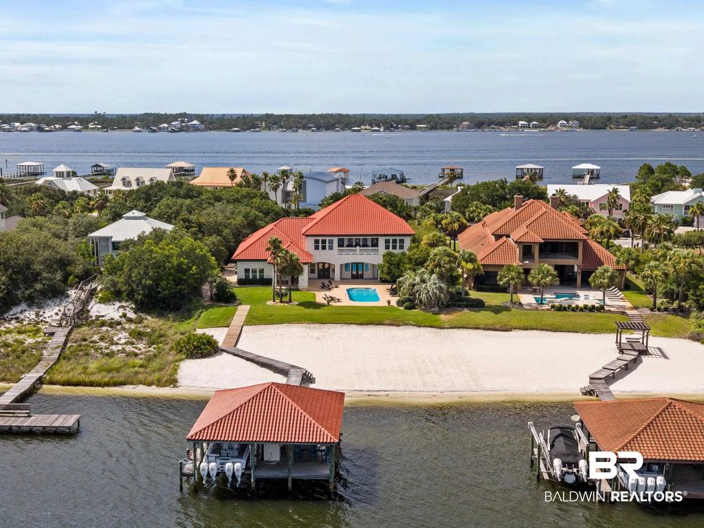
Ono Island Homes & Land for Sale – Luxury Waterfront Real Estate in Orange Beach Alabama





.gif)

Storm Prep on Ono Island — Watching Tropical Weather for Friday | Search The Gulf
Ono Island
Storm Prep on Ono Island — Watching Tropical Weather for Friday
A tropical system could reach the coast this Friday. Nothing is locked in yet—and on Ono, we do not wait for a last-minute scramble.
Ono Landing Launch vs Dock
On this page
Watching Friday’s weather
Boat launch…

Long Bayou Preserve Orange Beach: New Site Plan & Update
Ask A Question or Sign Up To See New Real Estate Listings Before Your Competition
When it comes to finding the home of your dreams in a fast-paced market, knowing about new listings as soon as they are available is part of our competitive advantage.Sign up to see new listings in an area or specific community. Contact Meredith with any questions you may have.