Discover Investment Opportunities in Gulf Shores Alabama

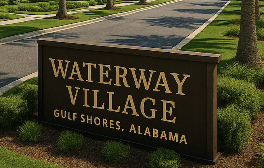
Discover Investment Opportunities: Homes and Land For Sale In and Near to Waterway Village in Gulf Shores Alabama
Where Is Waterway Village? Defining the Boundaries of Gulf Shores' Newest Destination
By Meredith Amon, Licensed in Alabama and Florida
Guided by Integrity. Backed by Experience. Search the Gulf with Meredith Amon.
Waterway Village is becoming the heart of Gulf Shores—anchored by walkable streets, coastal shops, green spaces, and exciting development near LuLu’s and the Intracoastal Waterway. If you’ve been curious where, exactly, this district begins and ends, you’re not alone. Understanding the map boundaries of Waterway Village is essential for homebuyers, investors, and builders who want to stay ahead of this area’s rapid appreciation.
As a Gulf Coast real estate advisor, I’m here to help you explore this neighborhood’s footprint and future potential.
Where Is Waterway Village?
Based on the City of Gulf Shores master plan and the Waterway Village Overlay District map, the area is roughly defined as:
-
North–South Boundaries:
From East 20th Avenue and the Medical Village corridor, down to just north of LuLu’s and the Intracoastal Waterway. -
East–West Boundaries:
From State Highway 59 (Gulf Shores Parkway) eastward to residential areas just beyond Canal Road, including E 21st to E 25th Avenues.
These walkable grid-style streets surround the Meyer Park neighborhood and intersect with Canal Road, which is quickly becoming a vibrant commercial and residential corridor.
Official Overlay & Zoning Info
Waterway Village is governed by the Waterway Village Overlay District, implemented in 2012 to encourage a form-based, pedestrian-first style of development. That means:
-
New construction must meet standards that promote walkability, mixed use, and human-scale design
-
The area is zoned for a combination of retail, restaurant, residential, and green space uses
-
Most new builds feature front porches, sidewalks, and parking at the rear—blending charm with function
You can view the full official map of the overlay here:
Waterway Village Overlay Map (PDF)
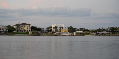
Connecting It All: The Pedestrian Bridge
The highly anticipated Waterway Village Pedestrian Bridge will link the north and south sides of the Intracoastal Waterway:
-
North Landing: Near East 20th Avenue and the Waterway Village core
-
South Landing: Just above LuLu’s at Homeport Marina
The bridge will offer 70 feet of vertical clearance for boat traffic and include elevator towers, creating seamless pedestrian access for homeowners, boaters, and visitors. Once complete, it will anchor Waterway Village as the walkable gateway to Gulf Shores—with access to dining, entertainment, and boating all within a few blocks.
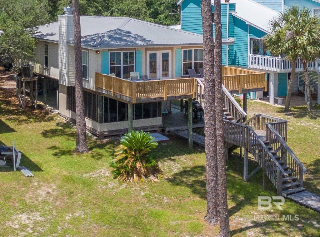
Meyer Park & New Construction Opportunities
Meyer Park is at the center of it all—bordered by E 23rd to E 25th Avenues, it’s one of the most desirable areas in Gulf Shores for new homes, infill lots, and thoughtfully designed neighborhoods.
With expanded sidewalks, golf cart accessibility, and community events planned, the area is drawing interest from:
-
Local builders creating charming coastal cottages
-
Boaters wanting walkable access to marinas and restaurants
-
Homebuyers who value lifestyle, not just location
-
Investors seeking early appreciation in a city-backed growth zone
Why Boundaries Matter for Real Estate
Knowing the boundaries of Waterway Village allows buyers and investors to:
-
Target early-in opportunities before prices rise further
-
Understand zoning and design standards for new construction
-
Benefit from walkability, tourism, and marina access
-
Evaluate homes and lots with long-term appreciation potential
If you're building, renovating, or buying in this district, make sure your plans align with the city's overlay code, which requires architectural compatibility with the area’s vision.
Summary of Boundary Lines
| Direction | Approximate Limit |
|---|---|
| North | East 20th Avenue / Medical Village |
| South | Just north of LuLu’s / ICW |
| East | E 21st to E 25th Avenue residential grid |
| West | Canal Road & State Highway 59 |
Waterway Village isn’t just a location—it’s the future of Gulf Shores. If you’d like to explore available homes, new construction lots, or investment properties within this district, I’d love to walk it with you—literally.
Let’s talk about your goals and find the right fit before the bridge opens and the buzz turns into sold signs.
— Meredith Amon
SearchTheGulf.com
Licensed in Alabama and Florida
When it comes to finding the home of your dreams in a fast-paced market, knowing about new listings as soon as they are available is part of our competitive advantage.Sign up to see new listings in an area or specific community. Contact Meredith with any questions you may have.
#searchthegulf #meredithamon #becausewelivehere

![]()


Ono Island’s Six Northern Canals — Bayou St. John Waterfront Guide (Orange Beach, AL)
The Six Northern Canals of Ono Island: A Waterfront Guide to Bayou St. John
By Meredith Folger Amon — Licensed in Alabama and Florida
At first light, the northern edge of Ono Island — https://www.searchthegulf.com/ono-island/ glows soft and still. The mirror-like surface of Bayou St. John ripples only…
Ask A Question or Sign Up To See New Real Estate Listings Before Your Competition
Leave A Comment