

Tidal Benchmarks | Ono Island Waterfront Guide
Posted by Meredith Folger Amon on
Ono Island Waterfront & Boating Guide
Reading the Water: What Tidal Benchmarks Mean for Ono Island Buyers and Boaters
A practical look at tidal datums, waterfront elevations, dock depth and the quiet measurements behind life near Perdido Pass.
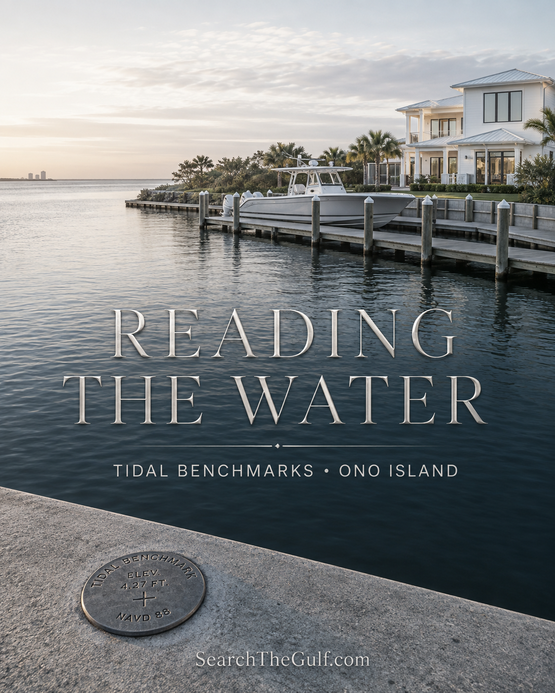
There is something wonderfully simple about watching the water around Ono Island. The tide rises against a pier. A boat rocks gently on its lift. Sunlight stretches across Bayou St. John, Old River and the Intracoastal Waterway. Yet beneath that beautiful scene is a surprisingly precise system of measurements—one that can matter when purchasing waterfront property, evaluating a dock or planning a coastal home.
Near Perdido Pass, NOAA established a series of tidal benchmarks at…
213 Views, 0 Comments
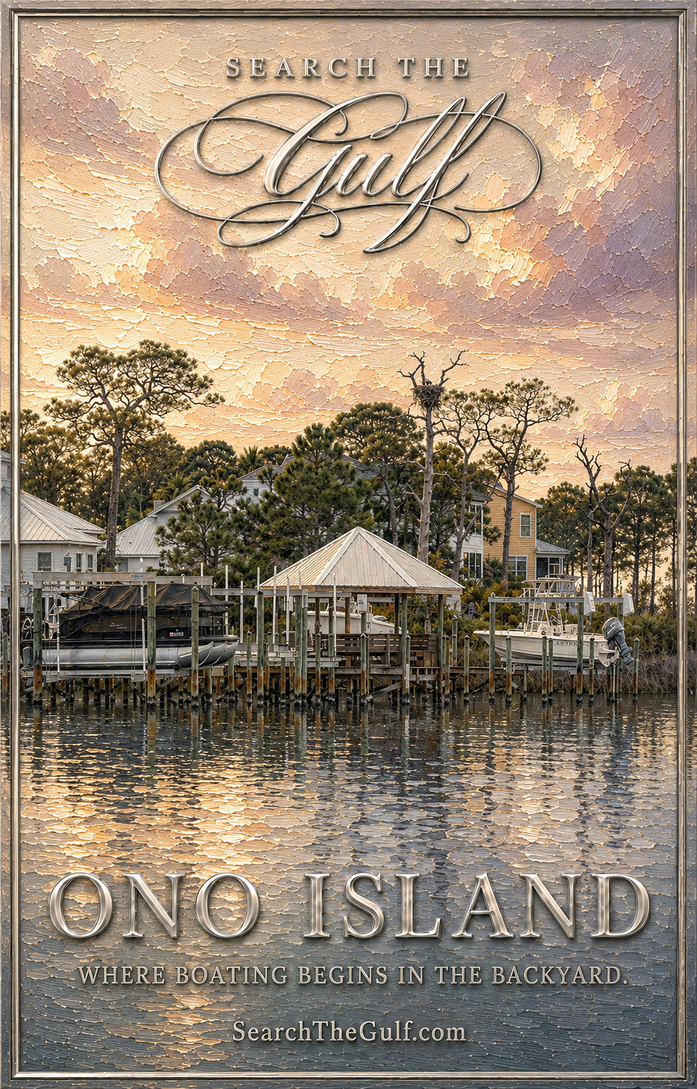
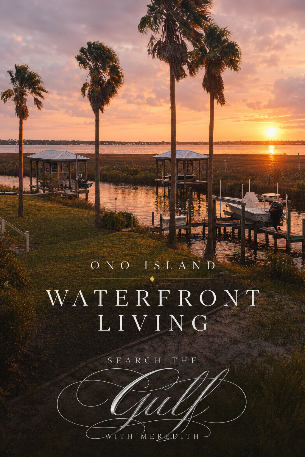

 Every time I cross the bridge to Ono Island, I feel a familiar shift—the air seems lighter, the views open wider, and the pace eases. This private island community between Bayou St. John and Perdido Bay offers one of the most remarkable waterfront lifestyles on the Gulf Coast.