
```html
Building on Ono Island
Ono Island Setbacks Explained
What buyers should understand about building envelopes, waterfront boundaries, surveys, permitting and home construction before choosing a floor plan.
_(800_x_150_px)_(2).gif)
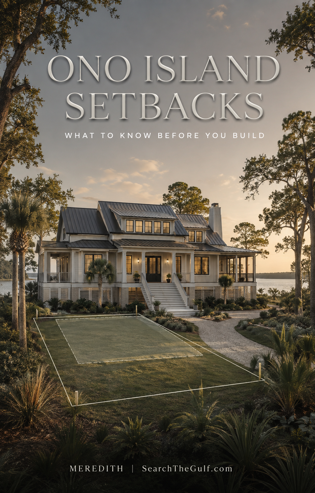
A homesite can look wonderfully spacious when I am standing beneath the pines and palms, but the visible property lines tell only part of the story. The true building envelope—the portion of the land where a residence and its improvements may be placed—is shaped by setbacks, recorded plats, unit covenants, drainage requirements, wetlands, waterfront conditions and permitting rules.
As an Ono Island homeowner and local real estate advisor, I encourage buyers to study these invisible boundaries before falling in love with a floor plan. A few feet can change the placement of a garage, pool, porch, outdoor kitchen or boathouse—and sometimes the overall design of the home.
“A beautiful homesite deserves a home designed for the land—not a plan forced onto it.”
My approach to coastal homebuilding
Understanding the Basics
What Is an Ono Island Building Setback?
A building setback is the required distance between a structure and a property line, street, shoreline or another regulated boundary. Setbacks help preserve open space, drainage, visibility, waterfront navigation and separation between neighboring properties.
On Ono Island, there is not one setback formula that applies to every homesite. The requirements for an individual property may come from several sources:
The applicable setback may be affected by:
The recorded subdivision plat
The covenants for the property’s particular unit or phase
Ono Island Architectural Control Committee rules
Baldwin County planning, zoning and building requirements
State and federal waterfront or wetlands regulations
Additional neighborhood or waterfront associations, when applicable
When the requirements differ, the more restrictive standard generally governs. This is why I do not like relying solely on a listing description, an old survey or the setback shown for a neighboring property. Two nearby homesites can have distinctly different building considerations.
A Question I Encourage Buyers to Ask
“What is the actual buildable area after every setback, easement and regulated feature has been placed on a current survey?”
The Starting Point
The Recorded Plat Is One of My First Stops
Before evaluating a floor plan, I want to review the recorded plat and confirm the property’s unit and lot number. The plat may identify front, side, rear and waterside building lines that directly shape the home’s possible footprint.
The Ono Island ACC rules also help define how yards may be interpreted. On a waterfront lot, the front yard is considered the area between the principal residence and the waterfront property line. On a corner lot, the front yard generally runs parallel to the street along which the lot has its shortest dimension.
The street-facing side yard of a corner lot must be at least 20 feet unless the recorded plat for the applicable unit specifies otherwise. Because these definitions may not match the way someone casually describes the “front” or “back” of a homesite, a surveyor and designer should identify each regulated yard correctly.
What May Extend into a Required Yard on Ono Island?
Eaves, cornices, sills, chimneys and similar projections:
These features may extend no more than 2 feet into a required yard.
Unroofed decks and porches:
These may project up to 5 feet into a required front yard and up to 10 feet into a required rear yard.
Uncovered steps and accessibility ramps:
These may project up to 5 feet into a required front or side yard and up to 10 feet into a rear yard.
Swimming pools:
Permanently constructed pools must remain within the applicable building setbacks.
Permanent structures:
Permanent structures are generally not permitted beyond a required setback, except for properly approved piers and boathouses.
Waterfront Planning
Ono Island Waterfront Setbacks Require Another Layer of Review
Waterfront homesites introduce additional boundaries that may not be obvious while walking the property. Piers, boathouses and related structures—including mooring pilings—must generally remain at least 10 feet from the lateral riparian-rights line unless the covenants for the applicable unit establish another requirement.
An Important Over-Water Setback Distinction
Units 5, 9, 12, 13, 20 and OE are identified in the March 2022 ACC rules as having 20-foot side setbacks over the water. Current requirements should always be verified before planning a pier, lift or boathouse.
This distinction can affect the location and width of a boathouse, boat-lift placement, mooring pilings, roof overhangs and the overall usefulness of the waterfront area.
A wide lot at the road does not necessarily provide the same width at the shoreline, and a wide shoreline does not automatically guarantee a wide waterfront structure. The usable area may narrow as the property and riparian lines extend into the water.
“Waterfront width and usable waterfront are not always the same thing. The survey, riparian lines, channel and environmental conditions help tell the complete story.”
Specialized Waterfront Rules
What Should Buyers Know About Ono Island Canal Lots?
Ono Island’s canal lots have specialized design and construction requirements. Before assuming that a particular dock, lift or boathouse will work, I recommend confirming the following:
The allowable length of a canal pier and its related structures is also tied to the surveyed width of the lot along the shoreline. This makes an accurate waterfront survey essential before designing a dock or boathouse.
Buyers comparing boating properties may also want to explore my guide to waterfront homes and land by waterway.
The Bigger Picture
Setbacks Are Only Part of the Buildable Envelope on Ono Island
A home can fit within the platted setbacks and still face other design limitations. The most useful question is not simply, “Will the house fit?” It is, “Will the entire plan work comfortably after the pool, porches, garage, drainage, utilities, trees and waterfront improvements are considered?”
What Else Can Affect the Home’s Placement?
Before deciding that a homesite works for a particular residence, I recommend reviewing:
✓ Wetlands and protected vegetation
✓ Flood-zone and elevation requirements
✓ Soil and foundation conditions
✓ Existing drainage patterns
✓ Stormwater-management requirements
✓ Trees and landscaping requirements
✓ Driveway and garage placement
✓ Sewer, septic and utility considerations
✓ Pool, generator and mechanical-equipment locations
✓ Construction parking and dumpster placement
✓ Pier, boathouse and boat-lift feasibility
For additional guidance, I have created detailed resources about wetland delineation on Ono Island, geotechnical and soil testing and coastal homesite due diligence.
Survey and Site Planning
What Should the Survey Show?
A permit application for new construction should include a scaled survey prepared by an Alabama-registered surveyor. Depending on the project, the site documentation may need to show:
The actual dimensions and shape of the lot
All four required setback lines
Existing and proposed structures
Front, side and rear yard widths
Distances from proposed structures to property lines
The canal centerline, when applicable
Corners of structures on adjoining properties
Trees measuring more than 6 inches in diameter
Walkways, parking areas, ingress and egress
Proposed grading, drainage and erosion-control information
A topographic survey is required for new construction. A water-distribution or stormwater-management plan prepared by an Alabama-registered engineer practicing in hydrology may also be required when more than 6 inches of earth will be moved, fill will be brought onto the property, excess soil will be removed or dredged material will be placed on the lot.
From Due Diligence to Construction
A Thoughtful Ono Island Planning Sequence
01. Confirm the unit, lot number, recorded plat and applicable covenants.
02. Obtain a current boundary and topographic survey.
03. Identify every applicable setback, easement and regulated area.
04. Complete wetlands, elevation, drainage and geotechnical investigations as needed.
05. Develop a preliminary site plan around the verified building envelope.
06. Coordinate Baldwin County and Ono Island requirements.
07. Obtain ACC preapproval before submitting applicable waterfront work to state and federal agencies.
08. Submit the complete ACC application, surveys, plans and supporting documentation.
09. Complete the required site, stake-out and final inspections.
10. Provide the final as-built survey and Certificate of Occupancy documentation.
No construction or delivery of project materials should begin until the applicable ACC permit has been issued.
Can a Buyer Request a Setback Variance?
A variance may be possible, but it should never be treated as automatic. The ACC may consider conditions such as exceptional lot narrowness, shallowness, shape, unusual topography or another extraordinary property-specific circumstance.
A variance granted for another property does not establish a precedent. Each request is evaluated individually and may require an application, accurate site plan, supporting information, application fee and notice to adjoining property owners.
I would not recommend purchasing a homesite on the assumption that a future variance will be granted.
My Personal Advice
Begin With the Land—Not the Floor Plan
I recommend letting the survey, setbacks, trees, drainage, elevation, wetlands and waterfront geometry reveal what the homesite wants to become. Once those pieces are understood, an experienced coastal architect, designer and builder can create a residence that feels intentional rather than compromised.
For buyers, this protects the dream before construction begins. For sellers, updated surveys and meaningful site information can help qualified buyers understand the property’s possibilities with greater confidence.
I am happy to help buyers compare Ono Island homes and homesites, assemble a thoughtful due-diligence team and ask the questions that matter before plans are finalized.
Search Ono Island Real Estate
Let’s Explore What Is Possible
Whether you are comparing waterfront homesites, planning a custom residence or evaluating an existing home, I would be honored to help you navigate Ono Island real estate with local insight and careful attention to the details.
Search Gulf Coast Real EstateImportant: This guide is based in part on the Ono Island Architectural Control Committee Rules and Regulations amended in March 2022. Rules, fees, interpretations and permitting requirements can change. Buyers and property owners should verify current requirements directly with the Ono Island POA/ACC, Baldwin County, the applicable association and qualified surveying, engineering, environmental, construction and legal professionals. This content is intended for general information and is not legal, surveying, engineering or permitting advice.
 #searchthegulf #meredithamon #becausewelivehere
 Ono Island Homes & Land for Sale – Luxury Waterfront Real Estate in Orange Beach Alabama





.gif)


Fort Morgan Sunset: A Peaceful October Evening | Meredith
Through Meredith’s Lens · Fort Morgan, Alabama
An October Sunset at the End of Fort Morgan Road
By Meredith · October 13, 2026
Tonight, I stood at the end of Fort Morgan Road and watched a perfect October sky settle over the Gulf. Pale blue gave way to apricot and rose, with a ribbon of gold…


Long Bayou Preserve Orange Beach: New Site Plan & Update
Ask A Question or Sign Up To See New Real Estate Listings Before Your Competition
When it comes to finding the home of your dreams in a fast-paced market, knowing about new listings as soon as they are available is part of our competitive advantage.Sign up to see new listings in an area or specific community. Contact Meredith with any questions you may have.
```