
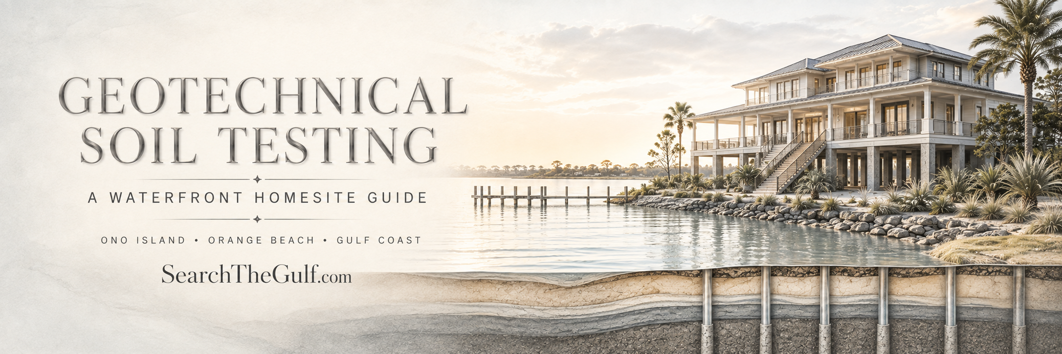
Gulf Coast Homesite Due Diligence
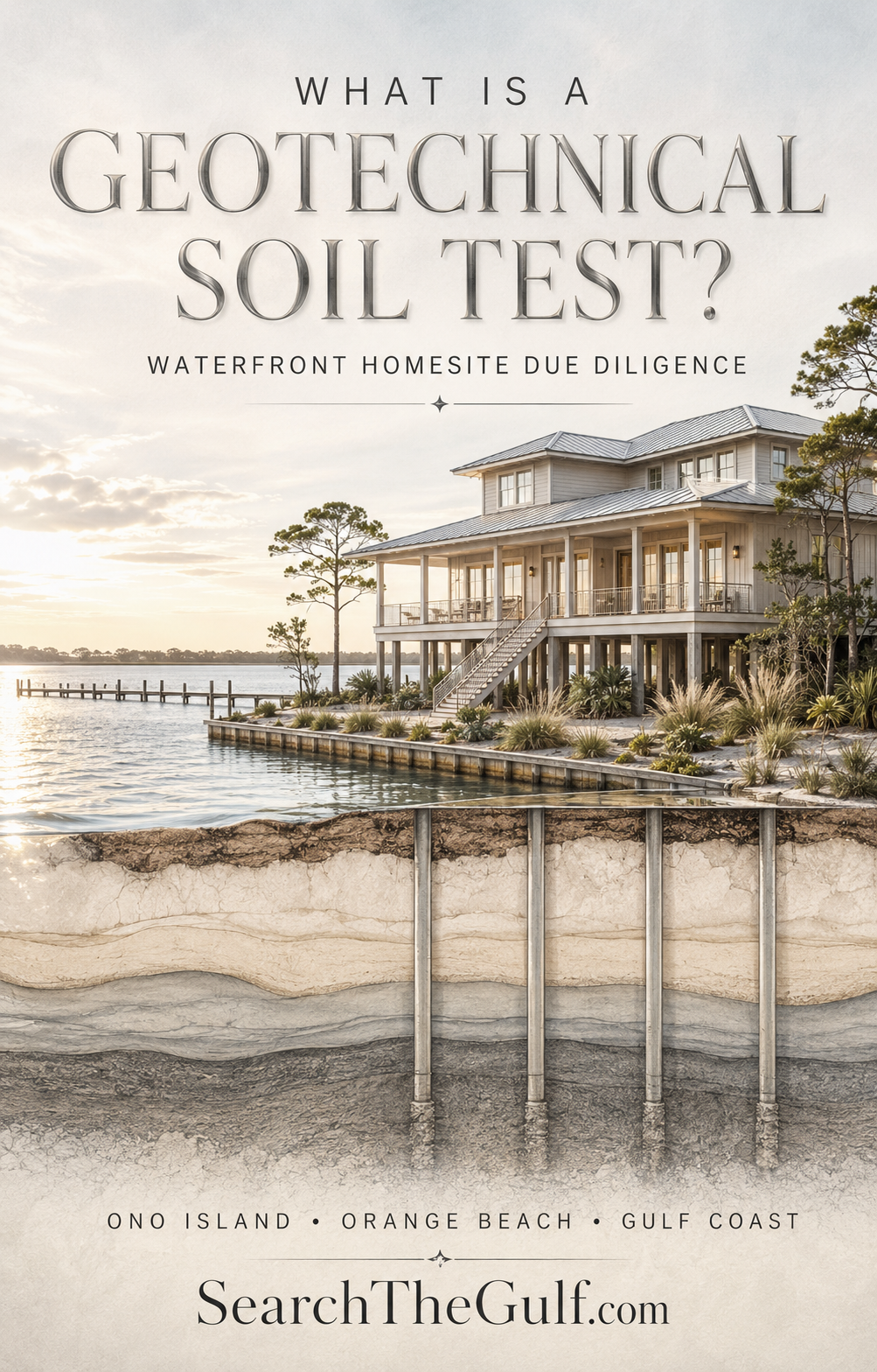
What Is a Geotechnical Soil Test?
A buyer and seller’s guide to waterfront homesites on Ono Island, in Orange Beach and along the Gulf Coast.
_(800_x_150_px)_(2).gif)
When buyers begin looking at a beautiful waterfront homesite, it is perfectly natural to focus on what can be seen: the view, the shoreline, the boating access, the trees and the possibilities for a future home.
But one of the most important parts of the property may be the part no one can see.
The soil beneath a coastal lot can influence how a house must be supported, how deep foundation pilings may need to extend and, ultimately, how much the project may cost. That is why I often encourage buyers considering waterfront land—especially property containing wetlands or lower-lying areas—to learn about geotechnical testing during the due-diligence period.
A geotechnical investigation is not the same as a wetland delineation, survey or environmental study. It answers a different but equally important question.
Once we identify where a home may be placed, what is beneath that proposed home—and what may be required to support it properly?
As an Ono Island homeowner and a full-time real estate advisor, I believe the best land purchases are made by looking beyond the view and understanding the property from the waterline all the way down to the supporting soil.
Below the Surface
What is a geotechnical investigation?
A geotechnical investigation evaluates subsurface soil and groundwater conditions in the area where a structure is proposed.
For a coastal residential project, an engineering company may perform soil borings, Cone Penetration Testing—commonly called CPT—or another form of subsurface exploration. The exact method depends on the site, the proposed construction and the engineer’s recommended scope.
During CPT testing, specialized equipment pushes an electronic cone into the ground at a controlled rate. The cone records measurements such as resistance at its tip, friction along its sleeve and pore pressure. A geotechnical engineer interprets that information to develop a continuous profile of the soil layers below the proposed structure.
In Simpler Terms
The engineer is looking for stronger and weaker soil layers and determining how those underground conditions may affect the foundation.
The completed report may include recommendations concerning:
- Site grading and building-pad preparation
- Removal or treatment of unsuitable material
- Foundation design considerations
- Potential settlement concerns
- Piling or deep-foundation considerations
- Construction practices related to the soil conditions encountered
The report is then used by the structural engineer, architect and builder when planning the home’s foundation. It does not replace structural engineering, but it gives the design team site-specific information instead of asking them to rely on assumptions.
Coastal Construction
Why can this matter so much on a waterfront lot?
Coastal soils are not always uniform. A homesite can look dry and firm at the surface while containing softer, looser, organic or more compressible material below. Conditions may also vary from one side of a parcel to the other.
That variation matters when the buyer is contemplating an elevated coastal home or a pile-supported house.
If suitable supporting soil is located at a reasonable depth, the results may give the buyer and design team greater confidence as they move forward. If weak soil extends considerably deeper than expected, the project could require longer pilings, a different piling system, additional engineering or more extensive site preparation.
Those requirements may be entirely manageable—but they belong in the construction budget.
The purpose is not to make a waterfront lot seem good or bad. It is to replace part of the uncertainty with professional information.
Value on Both Sides
How the information helps buyers and sellers
For the Buyer
A geotechnical investigation may help the buyer evaluate whether subsurface conditions could materially affect the intended home, foundation approach or construction budget.
- Understand likely foundation considerations
- Ask the builder and engineer better questions
- Identify possible cost concerns earlier
- Reconsider the preliminary house location if needed
- Make a more informed decision during due diligence
For the Seller
A thoughtful collection of professional information may make it easier for qualified buyers and their design teams to understand the homesite.
- Distinguish the lot from competing properties
- Reduce unanswered feasibility questions
- Give builders a more useful starting point
- Help serious buyers evaluate efficiently
- Demonstrate a thoughtful approach to the property
The investigation does not provide a guaranteed foundation price, and it does not independently certify that a property is buildable. Final cost depends on the house design, elevation, structural loads, piling type, contractor pricing, access and permitting requirements.
A seller should also be careful not to promise that a particular house can be built for a particular price. Reports may be limited to a specific client, structure location and intended use. If a seller commissioned the report, a buyer may need written permission or a reliance letter before relying upon it.
An Important Distinction
Is geotechnical testing the same as a wetland delineation?
No. This is one of the most important distinctions for Gulf Coast land buyers.
Wetland Delineation
Identifies whether wetlands or other aquatic resources are present and, if so, establishes their boundaries in the field. A qualified wetland professional typically evaluates vegetation, hydrology and hydric-soil indicators.
Geotechnical Investigation
Evaluates soil and groundwater conditions beneath the proposed structure and provides engineering recommendations related to site preparation and foundation design.
The U.S. Army Corps of Engineers explains that a delineation identifies and locates aquatic resources, while a jurisdictional determination addresses whether those resources are regulated under applicable federal authority. These are related concepts, but they are not necessarily the same deliverable.
A wetland delineation helps identify where construction may be constrained. A geotechnical investigation helps explain how the home may need to be supported where construction is proposed.
Finding wet soil or groundwater during geotechnical testing does not, by itself, establish a wetland boundary. Likewise, a wetland delineation does not tell a structural engineer how deep the home’s pilings should extend.
A Clearer Picture
Four reports buyers often confuse
01 Boundary and Topographic Survey
Identifies property lines, dimensions, elevations and other surveyed features included in the surveyor’s scope. Wetland flags may be located on the drawing when requested.
02 Wetland Delineation
Evaluates whether wetlands or other aquatic resources are present and marks the field boundaries identified by the wetland consultant.
03 Geotechnical Investigation
Evaluates subsurface conditions beneath the proposed structure and provides engineering recommendations relating to site preparation and foundation design.
04 Civil or Preliminary Site Plan
Begins fitting the proposed home, driveway, drainage, utilities, setbacks and other improvements onto the lot using the available property information.
Each professional answers a different question. Together, their work begins to create a much clearer picture of the property.
From Possibility to Plan
A thoughtful waterfront-lot due-diligence sequence
Every property is different, but I generally like the process to move from identifying the available building area to testing the location where the home is actually expected to sit.
- Review zoning, setbacks, community requirements, flood information and available records.
- Order a current boundary and topographic survey.
- Complete a wetland delineation when wetlands may be present.
- Have the wetland flags and other relevant features located on the survey.
- Develop a preliminary site plan or clearly mark the proposed house footprint.
- Perform geotechnical testing within that proposed footprint.
- Have the structural engineer and builder review the geotechnical recommendations.
- Obtain preliminary guidance concerning foundation, site-work and access costs.
Why the Order Matters
Soundings taken in one part of a property may not fully represent a house that is later moved because of wetlands, setbacks, trees, drainage or design changes.
Before Authorizing the Work
Questions I would ask the geotechnical engineer
- How many CPT soundings or borings are included?
- How deep will the testing extend?
- Is there a maximum amount of testing included in the quoted fee?
- What will deeper or additional testing cost?
- Will the report address a pile-supported residence?
- Will groundwater observations be included, and what do they represent?
- Does the scope cover only the house or also other proposed structures?
- What type of equipment will enter the property?
- Will clearing or difficult access create additional costs?
- Has access been coordinated to avoid unnecessary wetland disturbance?
- Who may rely upon the final report?
- What happens if the proposed house footprint changes?
I also recommend giving the engineer as much accurate project information as possible. The approximate house location, number of stories, construction type, first-floor elevation and anticipated foundation system can all help define the assignment.
The Larger Feasibility Picture
Does a favorable soil report prove that the lot is buildable?
No single report proves overall buildability.
A favorable geotechnical report addresses only part of the feasibility picture. A buyer must also consider wetlands, zoning, setbacks, floodplain requirements, survey matters, community architectural standards, access, utilities, drainage, permitting, dock or shoreline requirements and the proposed home design.
On Ono Island, additional community requirements and architectural-review considerations may apply. In Orange Beach and other coastal jurisdictions, the appropriate local and regulatory authorities should be consulted for property-specific requirements.
This is why I encourage buyers to assemble a team rather than rely on one opinion. A qualified surveyor, wetland consultant, geotechnical engineer, civil engineer, structural engineer, architect, builder and appropriate permitting authorities may each have an important role.
Meredith’s Perspective
A gorgeous view can inspire the purchase. Good information helps protect it.
I love helping buyers discover waterfront homesites where the view, boating access and future home can come together beautifully. But I also believe that the most exciting possibilities deserve careful due diligence.
For buyers, geotechnical testing may reveal important foundation considerations before construction plans are too far along. For sellers, having appropriate professional reports may make a unique homesite easier for serious buyers to evaluate. For both sides, the goal is greater clarity—not a false promise that every uncertainty has disappeared.
If you are considering buying or selling a waterfront homesite on Ono Island, in Orange Beach or elsewhere along the Gulf Coast, I would be glad to help you think through the real estate side of due diligence and connect the questions that should be addressed by the appropriate local professionals.
Explore Gulf Coast homes and land for sale by waterway, learn more about building along the Gulf Coast, or visit SearchTheGulf.com, the Gulf Coast’s premier website for searching real estate listings.
This article is intended for general real estate education and is not engineering, environmental, surveying, legal or permitting advice. Property-specific questions should be directed to appropriately licensed professionals and applicable authorities.
About Meredith
Meredith has been a successful, full-time real estate advisor specializing in resort and coastal properties for more than 25 years. Licensed in both Alabama and Florida, she is proud to call the Gulf Coast—and beautiful Ono Island—home. Her local knowledge, extensive experience and genuine love for the coastal lifestyle shape the thoughtful guidance she provides to every buyer and seller.
 #searchthegulf #meredithamon #becausewelivehere#orange-beach-idx#
.gif)

Storm Prep on Ono Island — Watching Tropical Weather for Friday | Search The Gulf
Ono Island
Storm Prep on Ono Island — Watching Tropical Weather for Friday
A tropical system could reach the coast this Friday. Nothing is locked in yet—and on Ono, we do not wait for a last-minute scramble.
Ono Landing Launch vs Dock
On this page
Watching Friday’s weather
Boat launch…

Long Bayou Preserve Orange Beach: New Site Plan & Update

Ask A Question or Sign Up To See New Real Estate Listings Before Your Competition
When it comes to finding the home of your dreams in a fast-paced market, knowing about new listings as soon as they are available is part of our competitive advantage.Sign up to see new listings in an area or specific community. Contact Meredith with any questions you may have.
Enjoy this blog post? Click here to subscribe for updates
Leave A Comment