
Ono Island and Orange Beach Tide Outlook
A practical, personal guide to higher and lower water from August through December 2026—and what those changing conditions may mean for waterfront homes, private docks and everyday boating.
_(800_x_150_px)_(2).gif)
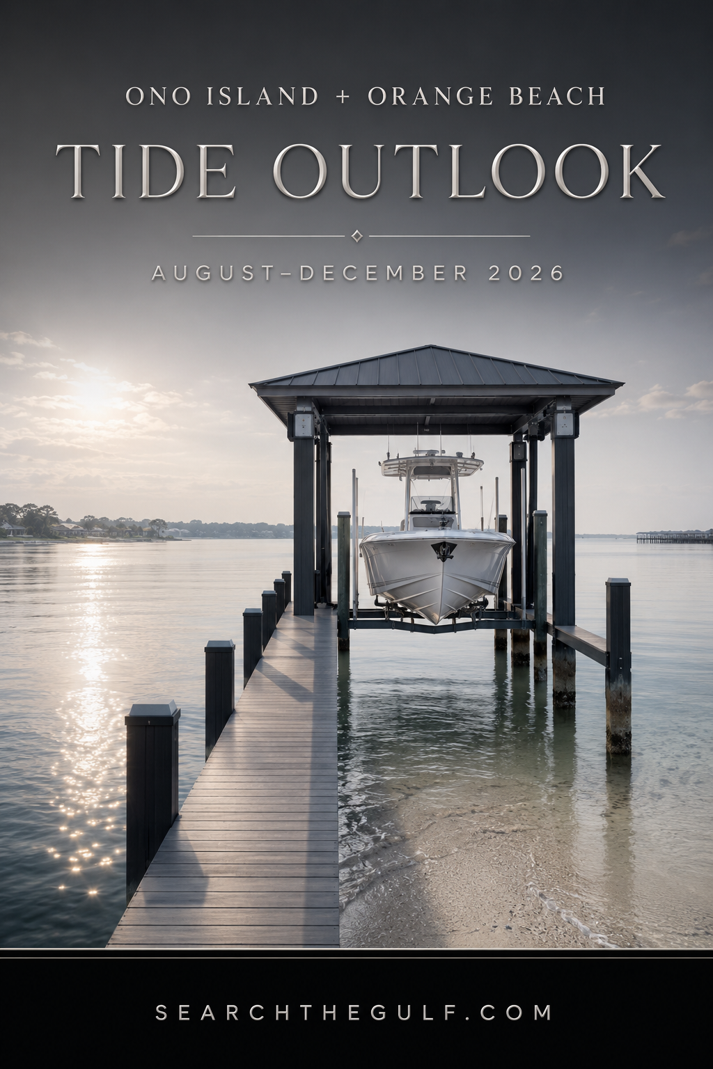
I remember sitting with an Ono Island neighbor on her dock one afternoon, enjoying that soft coastal light as it shimmered across the water. She pointed toward the pilings and showed me how far the water had fallen since morning.
“Watch the waterline,” she told me. “It will tell you more than you think.”
That simple observation stayed with me. The tide affects much more than the appearance of the water. It influences how a boat sits on its lift, the amount of water beneath the hull, the height of the water against the bulkhead and the ease of navigating canals and shallow entrances.
It can change bridge clearance and expose—or conceal—sandbars, shoaling and underwater obstructions. These are the details I enjoy learning from homeowners and experienced local boaters and then conveying to buyers in a practical, easy-to-understand way.
As I look ahead from August through December 2026, I expect several meaningful high- and low-water periods around Ono Island and Orange Beach. I am sharing these as approximate predictions and practical guidance. The exact conditions at a particular property may be different because of wind, weather, rainfall, storms and the location of the dock.
The tide may tell us when the water should rise and fall, but the wind often has the final word about what we actually see at the dock.
That is why I never evaluate an Ono Island waterfront property based upon tide alone. I consider the boat, dock, lift, waterway, bridges, weather and complete route to larger water.
My August–December 2026 Tide Outlook
The times below are approximate local times and are intended to highlight some of the more noticeable high- and low-water periods—not every change during the five-month period.
| Period to Watch | Approximate Higher-Water Window | Approximate Lower-Water Window |
|---|---|---|
| August 6–12 | Predawn through late morning, approximately 3:20–10:40 a.m. | Late afternoon through evening, approximately 4:25–7:50 p.m. |
| September 2–7 | After midnight through morning, approximately 12:40–8:55 a.m. | Afternoon through early evening, approximately 2:35–6:35 p.m. |
| Early October | After midnight through early morning | Midday through late afternoon |
| Late October | Primarily overnight and early morning | Primarily midday and afternoon |
| November 23–27 | Evening, approximately 7:50–10:45 p.m. | Morning, approximately 5:30–10:05 a.m. |
| December 22–25 | Evening, approximately 7:50–10:00 p.m. | Early to midmorning, approximately 5:40–8:50 a.m. |
What the Timing May Mean on the Water
Higher Mornings. Lower Evenings.
Higher water should move from the predawn hours into the morning, approximately 3:20–10:40 a.m. Lower water should generally arrive between approximately 4:25 and 7:50 p.m.
Higher readings may reach approximately 1.0 to 1.2 feet above the customary low-water reference. Some lower readings may fall approximately 0.2 to 0.4 feet below it.
A Gentle Shift Toward Fall
Higher water should occur from shortly after midnight through the morning, moving from approximately 12:40 a.m. toward 8:55 a.m. Lower water should move from approximately 2:35 p.m. toward 6:35 p.m.
Higher readings may reach approximately 1.0 to 1.1 feet, while some lower readings may fall approximately 0.2 to 0.3 feet below the customary reference.
A Revealing Month for Inspections
I expect much of the higher water to occur overnight or during the early morning. Lower water should generally arrive around midday or during the afternoon.
Higher readings may reach approximately 1.0 to 1.2 feet, while some lower readings may fall approximately 0.2 to 0.3 feet below the customary reference.
Morning Lows. Evening Highs.
Lower water should occur during the morning, moving from approximately 5:30 toward 10:05 a.m. Higher water should occur during the evening, moving from approximately 7:50 toward 10:45 p.m.
Higher readings may reach approximately 1.2 to 1.4 feet. Some lower readings may fall approximately 0.3 to 0.4 feet below the customary reference—a potential difference of approximately 1.8 feet.
Some of the Most Revealing Conditions of the Season
Lower water should occur during the morning, moving from approximately 5:40 toward 8:50 a.m. Higher water should return during the evening, generally between approximately 7:50 and 10:00 p.m.
Higher readings may reach approximately 1.3 to 1.4 feet. Some lower readings may fall approximately 0.4 to 0.5 feet below the customary reference—a potential difference approaching 1.9 feet.
What I Recommend During Higher and Lower Water
During Higher Water
Higher water can be advantageous when a boat needs additional depth beneath the hull.
- Move a deeper-draft vessel from a naturally shallow dock.
- Navigate a familiar canal entrance.
- Load passengers and supplies.
- Launch or retrieve where ramp depth is marginal.
- Evaluate the highest waterline against a bulkhead.
- Observe how wakes affect the dock and shoreline.
During Lower Water
Lower water can be one of the most useful tools for understanding a waterfront property.
- Inspect dock pilings, bulkheads and seawalls.
- Look for erosion or displaced riprap.
- Identify sediment around the lift.
- Measure practical water depth.
- Observe shallow turns and canal entrances.
- Photograph shoaling for future comparison.
What I Would Avoid
At Higher Water
- Passing beneath a bridge without knowing the boat’s air draft.
- Cutting across an area known to contain a sandbar.
- Running close to an island shoreline.
- Assuming water over a shoal is deep enough.
- Following another boat outside a marked or familiar route.
- Entering an unfamiliar canal at speed.
At Lower Water
- Unfamiliar shortcuts between islands.
- Running outside a marked channel.
- Cutting tightly across the inside of a canal turn.
- Approaching a sandbar on plane.
- Anchoring where the boat could become stranded.
- Assuming a previous GPS track remains safe after storms.
Areas I Treat Carefully at Lower Water
I would be cautious about publishing a permanent list of “safe” and “unsafe” sandbars. Sandbars move. Storms redistribute sediment. Propeller traffic changes canal bottoms. A route that worked last season—or even last month—may not offer the same depth today.
Canal Entrances
Sediment may accumulate where a smaller canal meets a larger body of water. The center may remain navigable while the shoulders become shallow.
Inside Bends and Intersections
Water movement can deposit sediment along the inside of a turn. A wider approach and slower speed provide more time to monitor depth.
Island Edges and Sandbars
Sandy shelves can extend much farther than the visible beach. Higher water may conceal the outer edge; lower water may leave a boat stranded.
Areas Outside Marked Routes
Near Perdido Pass, I would remain within the marked navigational route, avoid cutting close to the jetties and allow extra room around shoaling.
Old River and Bayou St. John
A beautiful shoreline does not necessarily mean deep water continues to the beach. Sandy shelves and shallow flats may extend outward.
Ono Island Canal Turns
Some canal segments may have more usable depth along the centerline than near the edges. I avoid hugging the shoreline or cutting tightly across a corner.
My Sandbar Safety Reminders
If we were heading to a sandbar together, I would offer a few simple reminders:
- Approach slowly with the motor trimmed appropriately.
- Watch the depth sounder rather than following another boat blindly.
- Consider how far the water may fall while you are anchored.
- Anchor in sufficient water instead of driving onto the sand.
- Watch wind direction and current.
- Make certain the anchor is holding.
- Keep an eye on changing weather.
- Use extra caution around swimmers.
- Never assume yesterday’s route is still the best route today.
- Leave before falling water creates a difficult departure.
How I Would Structure a Daily Ono Island Tide Report
This is exactly the direction I would like to continue developing for SearchTheGulf.com. A useful daily report could include:
Let’s Match the Boat to the Waterfront
When someone contacts me about an Ono Island waterfront home, I often ask about the boat before discussing the number of bedrooms.
The Boat
- What is the make and model?
- What are its draft and air draft?
- What does it weigh when fueled and loaded?
- Can the antennas or outriggers be lowered?
- Will the existing lift accommodate the hull?
The Waterfront
- Is protected canal water the right fit?
- Would Old River or Bayou St. John work better?
- Is Intracoastal Waterway access important?
- Are there fixed bridges along the route?
- Is there sufficient turning room?
A waterfront home has water. A genuinely boat-ready home has the depth, dock, lift, bridge clearance and route required for a particular vessel.
Let’s Find the Waterfront That Truly Works for Your Boat
Whether you are searching for an Ono Island canal home, deep-water frontage, an Old River residence or an Orange Beach home with a private dock, I would be delighted to help you evaluate it through both a real estate and boating lens.
Visit SearchTheGulf.com—the Gulf Coast’s premier website for searching all real estate listings on the Gulf Coast—or contact me to request a personal boat-to-property consultation.
Search Gulf Coast Real Estate
About Meredith
Meredith has been a successful, full-time real estate advisor specializing in resort and coastal properties for more than 25 years. Licensed in both Alabama and Florida, she is proud to call the Gulf Coast—and beautiful Ono Island—home. Her local knowledge, extensive experience and genuine love for the coastal lifestyle shape the thoughtful guidance she provides to every buyer and seller.

SEARCH ORANGE BEACH REAL ESTATE LISTINGS FOR SALE
- All Listings



.gif)

2026 MBGFC Labor Day Invitational | Orange Beach | Search The Gulf
Orange Beach · Boating Lifestyle
The 2026 MBGFC Labor Day Invitational: Celebrating Orange Beach’s Fishing and Boating Community
Thirty-eight teams, 222 anglers, 186 catches—and a Labor Day weekend that felt like one coastal family at the dock.
Explore Orange Beach Perdido Pass
On this…

Cotton Bayou Marina Boats | Orange Beach Near Terry Cove

Orange Beach and Ono Island Real Estate Update September
Ask A Question or Sign Up To See New Real Estate Listings Before Your Competition
When it comes to finding the home of your dreams in a fast-paced market, knowing about new listings as soon as they are available is part of our competitive advantage.Sign up to see new listings in an area or specific community. Contact Meredith with any questions you may have.
Enjoy this blog post? Click here to subscribe for updates
Leave A Comment