
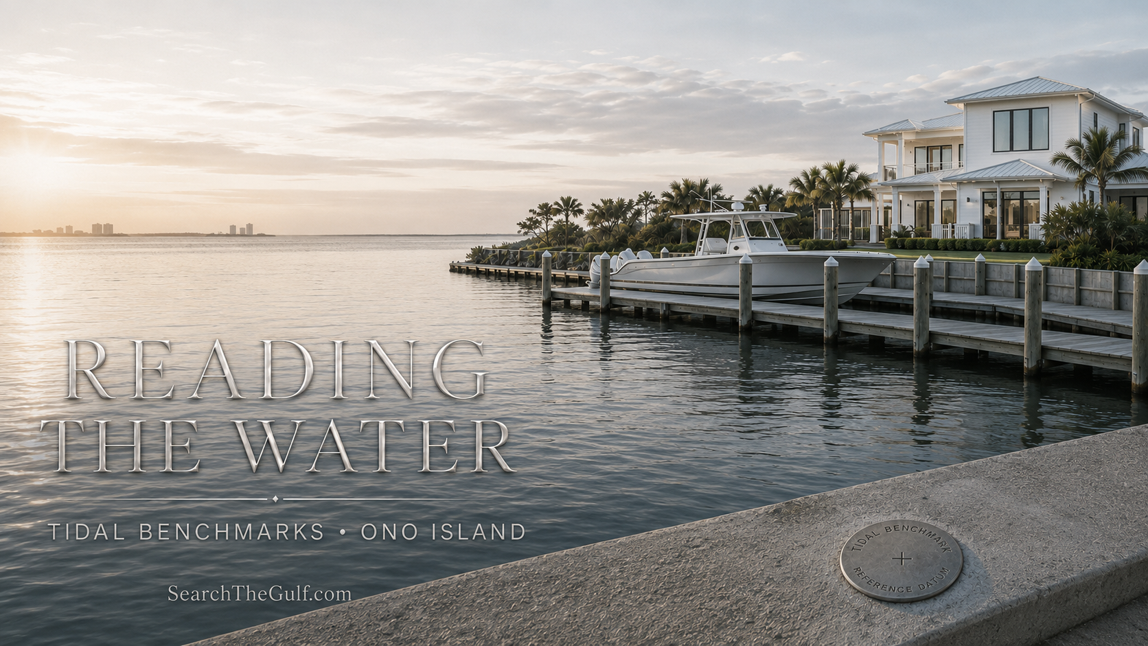
Ono Island Waterfront & Boating Guide
Reading the Water: What Tidal Benchmarks Mean for Ono Island Buyers and Boaters
A practical look at tidal datums, waterfront elevations, dock depth and the quiet measurements behind life near Perdido Pass.
_(800_x_150_px)_(2).gif)
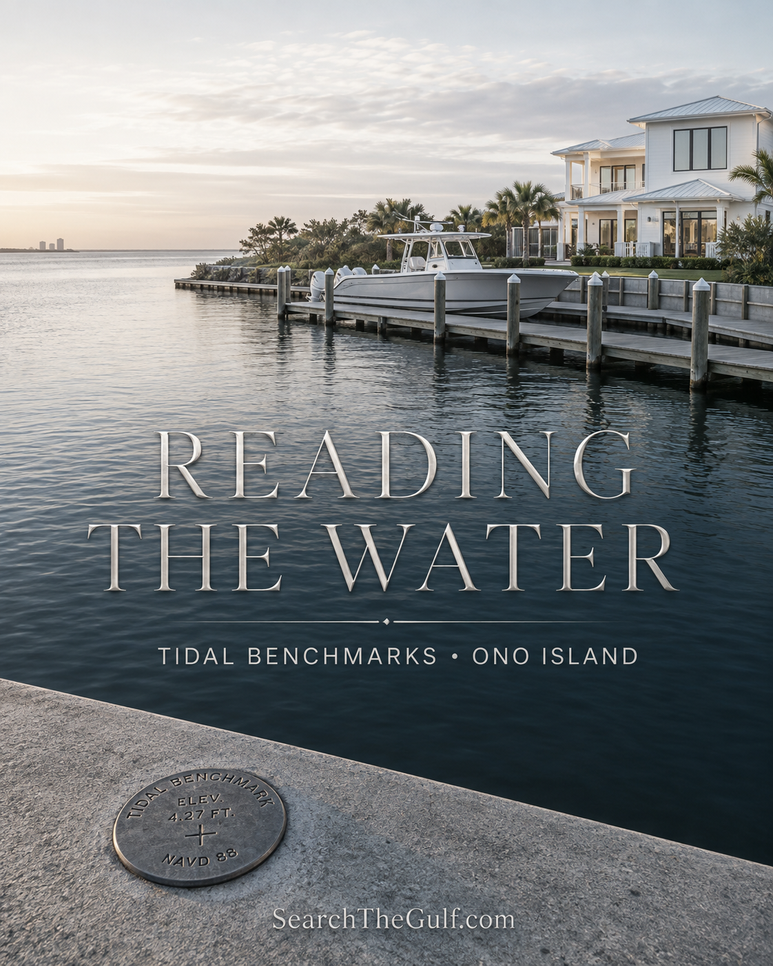
There is something wonderfully simple about watching the water around Ono Island. The tide rises against a pier. A boat rocks gently on its lift. Sunlight stretches across Bayou St. John, Old River and the Intracoastal Waterway. Yet beneath that beautiful scene is a surprisingly precise system of measurements—one that can matter when purchasing waterfront property, evaluating a dock or planning a coastal home.
Near Perdido Pass, NOAA established a series of tidal benchmarks at Alabama Point. These small survey disks may not look particularly remarkable, but they connect recorded water levels to fixed points on land. In practical terms, they help surveyors, engineers, scientists and coastal professionals speak the same language when discussing water elevation.
As an Ono Island homeowner and local real estate advisor, I believe waterfront buyers should understand at least the basics of that language. You do not need to become a surveyor or marine engineer. You simply need to know which questions to ask—and when a casual observation from the dock is not enough.
“A waterfront property should be evaluated from both directions: from the street looking toward the house and from the water looking back toward the dock.”
Meredith’s Waterfront Perspective
What Is a Tidal Benchmark?
A tidal benchmark is a permanent marker installed on stable land near a water-level station. NOAA uses these fixed markers to preserve the relationship between the land and the different water elevations measured at that location.
The published Alabama Point benchmark sheet identifies NOAA Station 8730667 at Perdido Pass. The document describes five benchmark disks placed in and around the concrete seawall, helicopter pad and porch near the Alabama Marine Police property. The original gauge and tide staff were located on a nearby pier.
These markers are not simply high-tide signs. They are recoverable survey references. A qualified professional can use a verified benchmark or another approved control point to relate an elevation on land to a recognized vertical datum.
My Simple Explanation
Think of a tidal benchmark as a permanent ruler anchored to the land. The water moves constantly, but the reference point gives professionals a consistent place from which to measure.
What Do MLLW, MHW and MHHW Mean?
Tide reports, surveys, marine plans and elevation documents may use several abbreviations. They sound technical, but the general ideas are fairly approachable.
| Term | Plain-English Meaning | Why It May Matter |
|---|---|---|
| MLLW | Mean Lower Low Water—the average of the lower low-water height during each tidal day over the applicable tidal epoch. | Frequently used as the chart reference for reported depths and tide heights. |
| MLW | Mean Low Water—the average of observed low-water heights. | Helps describe typical low-water conditions, but does not guarantee the depth beside a particular dock. |
| MSL | Mean Sea Level—the average of hourly water heights over the applicable observation period. | A local tidal reference that should not automatically be treated as the same thing as NAVD88. |
| MHW | Mean High Water—the average of observed high-water heights. | May appear in shoreline, environmental and coastal planning discussions. |
| MHHW | Mean Higher High Water—the average of the higher high-water height during each tidal day. | Provides a reference for commonly occurring higher-water conditions. |
| NAVD88 | A fixed geodetic reference used to report land elevations. | Often relevant to surveys, elevation certificates, engineering and construction plans. |
NOAA cautions that NAVD88 is not simply another name for local mean sea level. Each datum must be identified correctly. When reviewing an elevation, I always want to know the reference datum, because a number without its reference point can be misleading.
What the Historical Alabama Point Record Shows
The NOAA benchmark sheet supplied for Alabama Point was published in 2003. Its tidal datums were developed from a four-month observation series extending from December 1993 through March 1994 and were related to the Pensacola control tide station.
| Historical Datum | Meters Above MLLW | Approximate Feet Above MLLW |
|---|---|---|
| Mean Higher High Water | 0.262 m | 0.86 ft. |
| Mean High Water | 0.250 m | 0.82 ft. |
| Mean Tide Level | 0.129 m | 0.42 ft. |
| Mean Sea Level | 0.126 m | 0.41 ft. |
| Mean Low Water | 0.007 m | 0.02 ft. |
| Mean Lower Low Water | 0.000 m | 0.00 ft. |
These figures summarize the historical station record in the supplied benchmark sheet. They should not be substituted for a current survey, current tide prediction, site-specific depth measurement, elevation certificate, engineering determination or permitting requirement.
Does This Tell Me How Deep the Water Is at an Ono Island Dock?
No—and this is one of the most important distinctions for a waterfront buyer.
The Alabama Point station provides a regional tidal reference near Perdido Pass. It does not tell us the present water depth at a private pier on an Ono Island canal, Old River, Bayou St. John or the Intracoastal Waterway. Local depth can be affected by the specific waterway, distance from the channel, shoaling, dredging history, sediment movement, dock configuration, wind and recent weather.
If boating access matters to a purchase, I recommend measuring the depth at the dock and along the intended exit route under realistic conditions. Whenever possible, I like the evaluation to include a lower-water period and the actual type of boat the buyer plans to keep.
A Tide Number Is Not a Boat-Access Guarantee
A boat may float comfortably at the end of a pier yet encounter a shallow turn, canal entrance, bridge restriction or narrow route farther away. True boat readiness includes depth, draft, air draft, turning room, lift capacity, dock condition and the complete route to open water.
Tide Height and Tidal Current Are Not the Same Thing
This distinction is especially important around Perdido Pass. Tide predictions describe the expected time and height of the water. Current predictions describe the expected direction and speed of moving water, including flood, ebb and slack periods.
High tide does not automatically mean slack current. NOAA explains that the relationship between tide height and current timing is unique to each location. Boaters should consult the appropriate tide and current information separately rather than relying on a general rule of thumb.
Predicted tides also represent astronomical conditions. Wind, rain, freshwater runoff and other weather influences can cause observed water levels to differ from predictions. Along shallow Gulf Coast waterways, the wind can sometimes be every bit as important to a boating day as the printed tide table.
Why Tidal Datums Matter in Waterfront Real Estate
1. Dock and Boat-Lift Planning
A marine contractor may need accurate elevations and site conditions when evaluating piling height, lift placement, utilities and dock design. The needs of a bay boat can be very different from those of a larger center-console or sportfishing vessel.
2. Waterfront Depth and Usability
An attractive pier does not necessarily mean dependable boating access. I encourage buyers to evaluate usable depth at the lift, beside the dock and along the route to navigable water.
3. Surveys and Elevation Certificates
Surveys and elevation certificates should state the vertical datum used. When comparing older and newer documents, a licensed surveyor can determine whether the elevations are truly comparable or require conversion.
4. Coastal Construction
Finished-floor elevations, flood requirements, drainage, seawalls and site design involve different standards and authorities. A tidal benchmark can contribute to the technical framework, but current construction decisions should be made by the appropriate surveyor, engineer, contractor and permitting officials.
5. Shoreline and Permitting Questions
Mean high-water terminology may appear in environmental, shoreline and regulatory discussions. Buyers should not attempt to establish a legal boundary or permitting line from an online tide table or benchmark sheet. Site-specific professional and regulatory guidance is essential.
My Waterfront Due-Diligence Questions
- What is the measured depth at the dock during a representative lower-water period?
- Where was that depth measured, and what datum or tide condition was used?
- What is the vessel’s fully loaded draft?
- Is there sufficient depth along the entire route to open water?
- Are there bridges or overhead restrictions affecting air draft?
- Does the waterway provide comfortable turning room?
- Is the lift properly sized for the intended boat, fuel and equipment?
- What is the condition of the pilings, framing, decking, roof and electrical service?
- Are there recorded permits or association restrictions affecting the dock?
- Does a current survey show the improvements, easements and relevant waterfront features?
- Has a qualified marine contractor or other appropriate professional inspected the structure?
The Question I Would Ask Before Making an Offer
Instead of asking only, “Does this property have a dock?” I would ask:
“Will this dock, this water depth and this route work comfortably for the boat I own—or the boat I hope to own?”
That one question opens the door to a much better waterfront evaluation. It brings together the dock, lift, depth, tide, channel, bridge clearance and real-world boating route. That is how I prefer to help buyers study waterfront property: not merely as a beautiful view, but as a complete coastal lifestyle.
Helpful Ono Island and Gulf Coast Resources
- Ono Island and Orange Beach Tide Outlook
- Ono Island No-Wake Zones and Boater Guide
- Boating from Ono Island to Perdido Pass
- Ono Island Canal Owners Association Guide
- Ono Island Waterfront Homes, Architecture and Boating Access
- Search Gulf Coast Waterfront Homes and Land by Waterway
Official Tide and Datum Resources
Buyers and boaters can review the NOAA Alabama Point Station 8730667, its current tide predictions and NOAA’s official tidal-datum definitions.
Local Knowledge Meets Waterfront Due Diligence
Let’s Find the Waterfront Property That Truly Fits Your Boat
If you are considering an Ono Island home, homesite or boating property, I would be delighted to help you evaluate more than the view. Together, we can ask thoughtful questions about water depth, dock condition, boat-lift capacity, navigation routes, surveys and coastal due diligence.
Explore the Gulf Coast’s premier website for searching all real estate listings at SearchTheGulf.com.
This article is provided for general educational and real estate-planning purposes. Tidal datums, waterfront boundaries, flood elevations, navigable depth, dock permitting and construction requirements should be verified by appropriately licensed surveyors, engineers, marine contractors, environmental professionals, governmental agencies and legal counsel when applicable.
Select one or more listings to compare
When it comes to finding the home of your dreams in a fast-paced market, knowing about new listings as soon as they are available is part of our competitive advantage.Sign up to see new listings in an area or specific community. Contact Meredith with any questions you may have. #searchthegulf #meredithamon #becausewelivehere
 Ono Island Homes & Land for Sale – Luxury Waterfront Real Estate in Orange Beach Alabama, $200,000 - $300,000
Compare Listings

.gif)
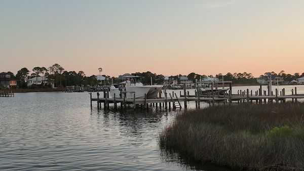

Ono Harbour at Sunset | My Sanctuary on Ono Island
Ono Harbour · Ono Island
Ono Harbour at Sunset
Salt air. Marsh grass. Pretty boats on still water. Soft peach light over the harbour—my sanctuary on Ono Island, so close to Orange Beach.
Ono Harbour Homes Walking the Dock
A Favorite Corner of the Island
Ono Harbour is one of my…
2026 MBGFC Labor Day Invitational | Orange Beach | Search The Gulf

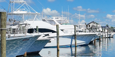
Cotton Bayou Marina Boats | Orange Beach Near Terry Cove
Ask A Question or Sign Up To See New Real Estate Listings Before Your Competition


``` The technical definitions and station availability were verified against the official [NOAA Alabama Point station page](https://tidesandcurrents.noaa.gov/stationhome.html?id=8730667), [NOAA tidal-datum guidance](https://tidesandcurrents.noaa.gov/datum_options.html), and [NOAA tide and current FAQs](https://tidesandcurrents.noaa.gov/faq.html).
Posted by Meredith Folger Amon onEnjoy this blog post? Click here to subscribe for updates
Leave A Comment