
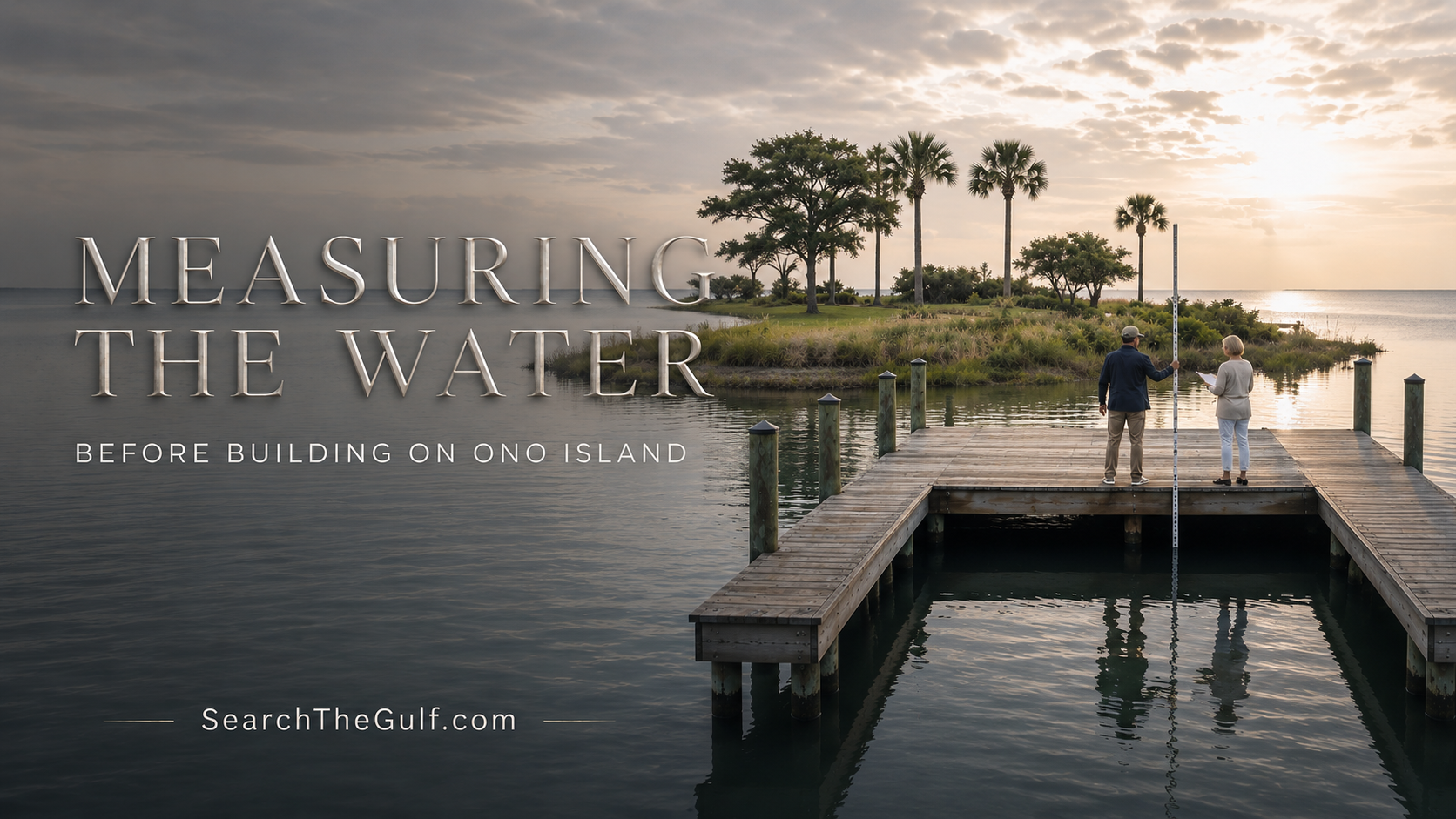
Ono Island Waterfront Homesite & Boating Guide
Measuring the Water Before Building: Choosing a Waterfront Homesite on Ono Island
Why an existing pier and boat slip can add meaningful value—and why I still want to measure the water, inspect the structure and understand the complete boating route.
_(800_x_150_px)_(2).gif)
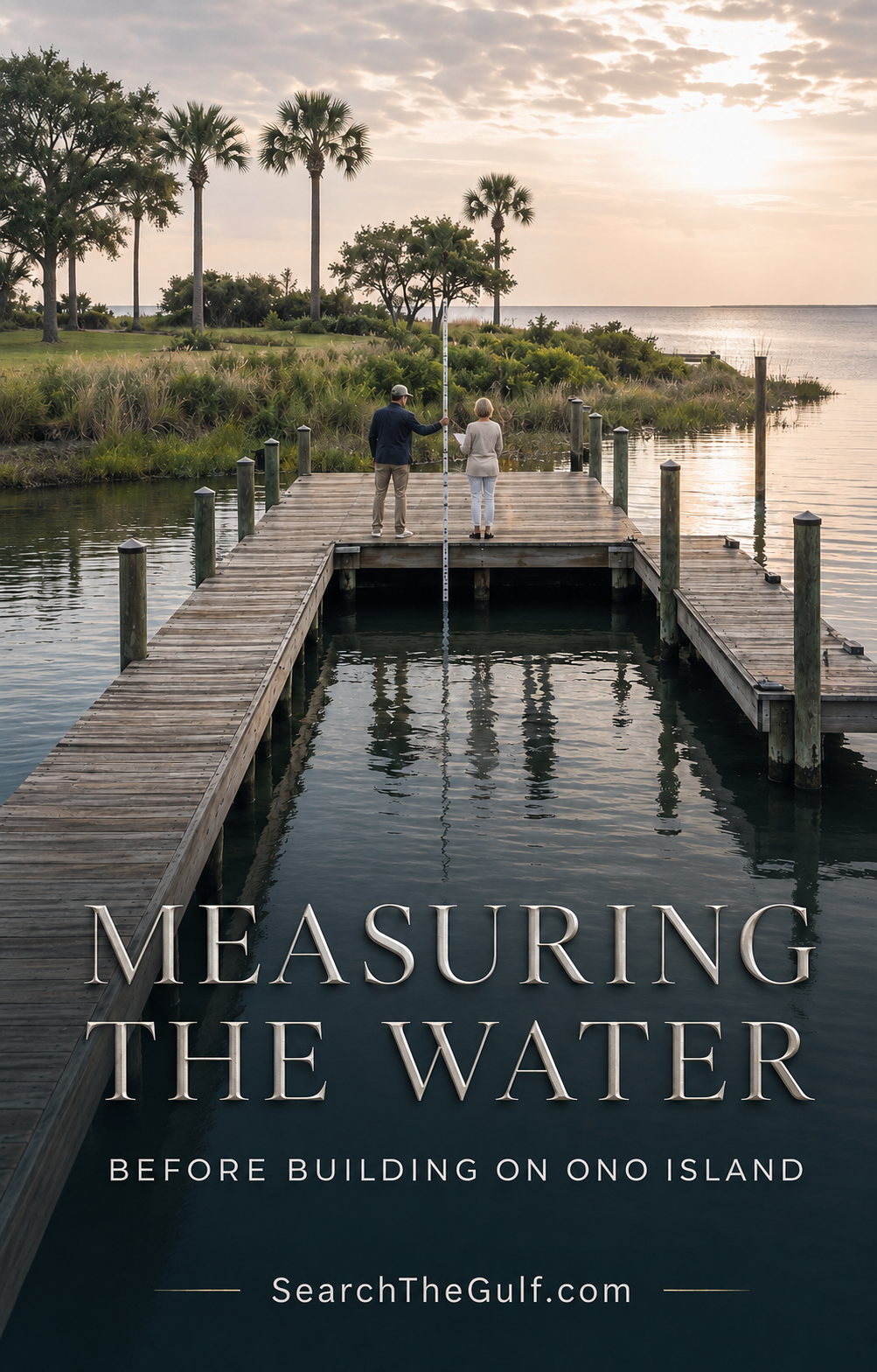
Today, I am helping a couple evaluate a waterfront homesite on Ono Island where they hope to build a custom home. The property already has something especially valuable in place: an existing pier and dedicated boat slip.
At first glance, that makes the homesite immediately more appealing—and it should. A usable pier gives a buyer a tangible connection to the water from the very beginning. It provides a place to measure depth, study the bottom, inspect the shoreline and begin imagining the rhythm of life a future home could offer.
But when I help someone evaluate waterfront land on Ono Island, I do not want to stop at, “It has a pier.” I want to understand whether that pier, slip, water depth and boating route will truly work for the boat the buyer owns—or the boat they hope to own.
“A waterfront homesite should be evaluated from two directions: from the land looking toward the water and from the water looking back toward the future home.”
Meredith’s Waterfront Perspective
Why We Are Measuring the Water Today
On Wednesday, August 12, 2026, the predicted high tide near Ono Island is approximately 10:37 a.m. at 1.11 feet. The predicted low tide is approximately 7:47 p.m. at −0.09 feet. These elevations are referenced to Mean Lower Low Water, commonly abbreviated as MLLW.
Today’s Predicted Tidal Change
Approximately 1.2 feet between the predicted high and low tide
A foot of water may not sound like much when you are standing on a beautiful pier looking across a calm canal. For a boat owner, however, that difference can be meaningful. It may affect whether a vessel sits comfortably in the slip, whether the running gear remains clear of the bottom and whether the boat can pass through a shallower turn or canal entrance.
My preference is to take measurements during more than one water condition whenever practical. A higher-water measurement helps us understand the best apparent condition. A lower-water measurement tells us far more about usable clearance when the water has receded.
“One water-depth measurement is a snapshot. Several carefully documented measurements begin to tell the property’s boating story.”
Where I Want the Water Measured
I do not want a single measurement taken only at the most convenient or deepest point. The depth can vary throughout the slip and along the route the boat must travel.
- At the bow area of the existing boat slip
- At the stern and engine area
- Along the centerline of the slip
- Near both sides of the pier
- At the outer end of the pier
- Along the boat’s path away from the property
- Near any turns, canal entrances or visibly shallow areas
- During a representative lower-water period whenever possible
The Better Question Is Not Simply, “How Deep Is the Water?”
A depth number without context can be misleading. I want to know where the measurement was taken, what time it was recorded, the predicted tide elevation at that moment and what the bottom feels like beneath the sounding pole.
The Question I Ask
“How deep is the water at a known tide level, where was it measured, what is beneath the boat and will the entire route work for the intended vessel?”
A marked sounding pole or weighted line can provide useful preliminary information. For a more formal determination, a marine contractor, licensed surveyor or other qualified professional may be appropriate.
If the predicted tide is approximately 1.11 feet above MLLW when a measurement is taken, the observed water depth includes that additional predicted water elevation. We should not assume the same depth will remain when the tide falls.
Wind and weather also matter. A prolonged wind can push water into or away from our bays and canals, causing the actual water level to differ from the prediction. This is why I prefer to document what we physically observe rather than relying exclusively on a tide table.
Why an Existing Pier and Boat Slip Are So Advantageous
An existing pier and boat slip can be among the most valuable improvements on an Ono Island waterfront homesite, particularly when the structure is properly located, permitted, well maintained and suited to the buyer’s boating plans.
Advantage One
It Gives Us Immediate Access to the Water
Without a pier, reaching the location where a future boat would actually sit can be difficult. An existing structure allows us to measure throughout the slip, inspect the shoreline and observe the water from the property’s true boating position.
Advantage Two
It May Represent Meaningful Time and Cost Savings
Designing, permitting and constructing a new pier can require substantial time and expense. The cost depends on length, water depth, pilings, decking, roof structures, electrical service, boat lifts and permitting. An existing structure may reduce the amount of new marine construction required.
Advantage Three
It Helps Shape the Custom Home
When the pier and slip are already in place, the architect and builder can better understand how the future home should connect to the waterfront. We can begin planning the walk from the garage to the boat, the placement of outdoor living areas and the views from the home’s principal rooms.
“The goal is not merely to place a house on waterfront land. The goal is to create a home that works gracefully with the water.”
Designing the Future Home Around the Waterfront
Once we understand the pier and boat slip, we can begin thinking more intentionally about how the future custom home should function.
- A convenient walking route from the house to the pier
- Covered access and well-positioned exterior stairs
- Secure storage for boating and fishing equipment
- An easy place to manage coolers and supplies
- An outdoor shower and durable coastal finishes
- Views from the kitchen, living areas and outdoor spaces
- Shore power, dock lighting and water service
- Drainage around the home and waterfront
- Storm preparation and boat-lift access
- A thoughtful connection between the garage, home and boat
What I Am Looking for at the Boat Slip
Depth Throughout the Slip
I do not want to measure only at the deepest point. The bow, stern, centerline and sides of the slip may have different depths. The vessel also needs adequate clearance while entering and leaving—not simply while tied in place.
Bottom Conditions
A sounding pole can provide clues about whether the bottom is firm sand, soft mud, shell or accumulated sediment. A pole sinking deeply into soft material can create a different impression than a firm-bottom measurement.
Slip Width and Length
The slip must comfortably accommodate the boat’s beam and overall length, including engines, brackets, swim platforms, lines and fenders.
Turning Room
A wide slip is less useful if the boat cannot comfortably turn or align with the approach. I want to consider wind, current, neighboring structures and the maneuvering space available.
Boat-Lift Potential
If the couple plans to install or replace a lift, the intended boat’s fully loaded weight matters. Fuel, engines, batteries, equipment, water and accessories can add considerable weight beyond the manufacturer’s basic figure.
A Valuable Distinction
“A property can be waterfront without being truly boat-ready for every vessel.”
The Complete Route Matters
A beautiful private slip does not automatically mean unrestricted boating access. I want to understand the entire route from the property to the water the buyer wants to enjoy.
That includes canal depth, turning radius, shoaling, bridge clearance, no-wake areas and the route toward Old River, Bayou St. John, the Intracoastal Waterway or Perdido Pass.
My Dock-to-Gulf Test
Can the intended boat leave the slip, navigate the turns, pass beneath any bridges, travel through the local waterway and return comfortably under realistic conditions?
Buyers can learn more about local navigation in my guides to boating from Ono Island to Perdido Pass and Ono Island no-wake zones.
The Pier Still Deserves Its Own Due Diligence
The presence of an existing pier is encouraging, but I would never assume that every part of the structure is sound, properly documented or suitable for future modifications.
- Are permits and related construction records available?
- Does the pier and slip appear on a current survey?
- Where are the property lines, easements and waterfront improvements?
- What is the condition of the pilings, framing, decking and fasteners?
- Is the electrical service professionally installed and protected?
- What is the condition and capacity of any existing boat lift?
- Is there evidence of storm damage or structural repair?
- Has dredging occurred, or might it be needed?
- What association requirements apply?
- Would future alterations require new approvals or permits?
A qualified marine contractor can evaluate the pier more thoroughly. A licensed surveyor can address boundaries and elevations, while the appropriate authorities can clarify permitting and future modification requirements.
“An existing pier gives the property a wonderful head start. Good due diligence helps determine how valuable that head start truly is.”
How I Would Document the Measurements
I like to keep waterfront observations organized so they can be shared with the buyer, builder, architect and appropriate marine professionals.
- Record the date and exact time.
- Note the predicted tide elevation.
- Identify the precise location of each measurement.
- Record the observed water depth.
- Describe the apparent bottom condition.
- Note the wind direction and unusual weather conditions.
- Photograph or video the measurement process.
- Compare the findings with the intended boat’s draft, beam, length and loaded weight.
This information does not replace a professional hydrographic survey, engineering opinion or marine inspection. It is thoughtful preliminary fieldwork that helps us identify whether more specialized investigation is appropriate.
Water Depth Is Only One Part of Choosing the Homesite
Because this couple plans to build a custom home, I also want the purchase decision to include the land beneath and around the future residence.
- A current boundary and topographic survey
- An elevation certificate or verified elevation information
- A geotechnical investigation
- Wetland delineation when applicable
- Flood-zone and finished-floor requirements
- Buildable-area and setback confirmation
- Drainage and stormwater planning
- Utility availability
- Tree and vegetation considerations
- Architectural-review requirements
- Preliminary construction budgeting
My Ono Island and Orange Beach homesite due-diligence guide explains how these pieces work together.
Buyers may also find my guides to geotechnical and soil testing for coastal homesites and wetland delineation on Ono Island and Orange Beach helpful when evaluating land for a custom home.
The Vision and the Verification
“There is the feeling of standing on the pier and imagining the future home. Then there is the responsibility of making sure the land and water can support that vision.”
I believe buyers deserve both: the excitement of seeing what a waterfront homesite could become and the careful guidance needed to investigate whether it can become that comfortably, safely and realistically.
My Perspective as an Ono Island Real Estate Advisor
Today’s visit is a perfect example of why I enjoy helping buyers evaluate waterfront land.
There is the practical side: water measurements, surveys, tide levels, building requirements, pier inspections and boat specifications. Then there is the part that cannot be reduced to a number—the feeling of standing at the end of the pier and picturing the home that might one day rise behind you.
I can imagine the couple walking down from their custom home in the quiet of the morning, carrying coffee to the pier while the water moves softly beneath the boat. That vision is part of the decision. My responsibility is to help determine whether the property can support it comfortably and realistically.
The existing pier and boat slip give this homesite a wonderful head start. They allow us to evaluate the water today, understand how the property functions from the boating side and design the future home with a much clearer sense of place.
“That is the difference between simply buying waterfront land and thoughtfully selecting a waterfront homesite.”
Helpful Ono Island Waterfront Resources
- Ono Island Tidal Benchmarks and Waterfront Guide
- Ono Island and Orange Beach Tide Outlook
- Ono Island Backyard Boating and Waterfront Lifestyle
- Ono Island Canal Owners Association Guide
- Ono Island Waterfront Homes, Architecture and Boating Access
- Search Gulf Coast Waterfront Homes and Land by Waterway
- Explore Ono Island Real Estate
Waterfront Homesite Guidance
Let’s Find the Waterfront Homesite That Fits Your Home and Your Boat
If you are considering an Ono Island waterfront home or homesite, I would be delighted to help you look beyond the view and evaluate how the land, water, pier, boat slip and future custom home can work together.
Visit SearchTheGulf.com, the Gulf Coast’s premier website for searching all real estate listings.
This article is provided for general educational and real estate-planning purposes. Water depths, tide elevations, waterfront boundaries, dock conditions, permitting and construction feasibility should be independently verified by the appropriate licensed surveyors, engineers, marine contractors, environmental professionals, governmental authorities and legal counsel. Tide predictions do not guarantee actual water levels.
Select one or more listings to compare
From Meredith
When it comes to finding the home of your dreams in a fast-paced market, knowing about new listings as soon as they are available is part of our competitive advantage.Sign up to see new listings in an area or specific community. Contact Meredith with any questions you may have. #searchthegulf #meredithamon #becausewelivehere
 Ono Island Homes & Land for Sale – Luxury Waterfront Real Estate in Orange Beach Alabama, $200,000 - $300,000
Compare Listings

.gif)


Orange Beach and Ono Island Real Estate Update September
The Market, in My Words
Orange Beach, Ono Island & Gulf Shores Real Estate Market Update
August 27–September 2, 2026
This week along the Alabama Gulf Coast was a wonderful example of why I never judge a market by one headline—or even one average. Across the five segments I track in…
Are There Tesla Chargers on Ono Island? | Search The Gulf
Ask A Question or Sign Up To See New Real Estate Listings Before Your Competition


Enjoy this blog post? Click here to subscribe for updates
Leave A Comment