Coastal Homesite Due Diligence
Wetland Delineation on Ono Island and Orange Beach
What Gulf Coast buyers and sellers should know about wetlands, buildable area, permitting and preparing a homesite for new construction.
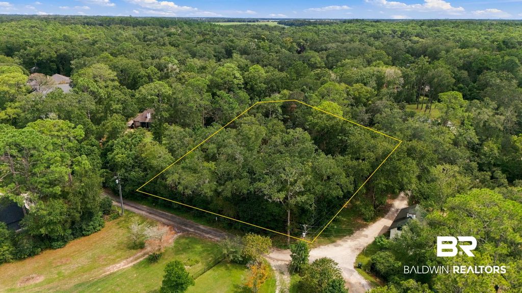
When I help someone buy or sell a homesite on Ono Island, in Orange Beach or along the Alabama Gulf Coast, one of the most important questions is also one of the simplest: Where can the home actually be built?
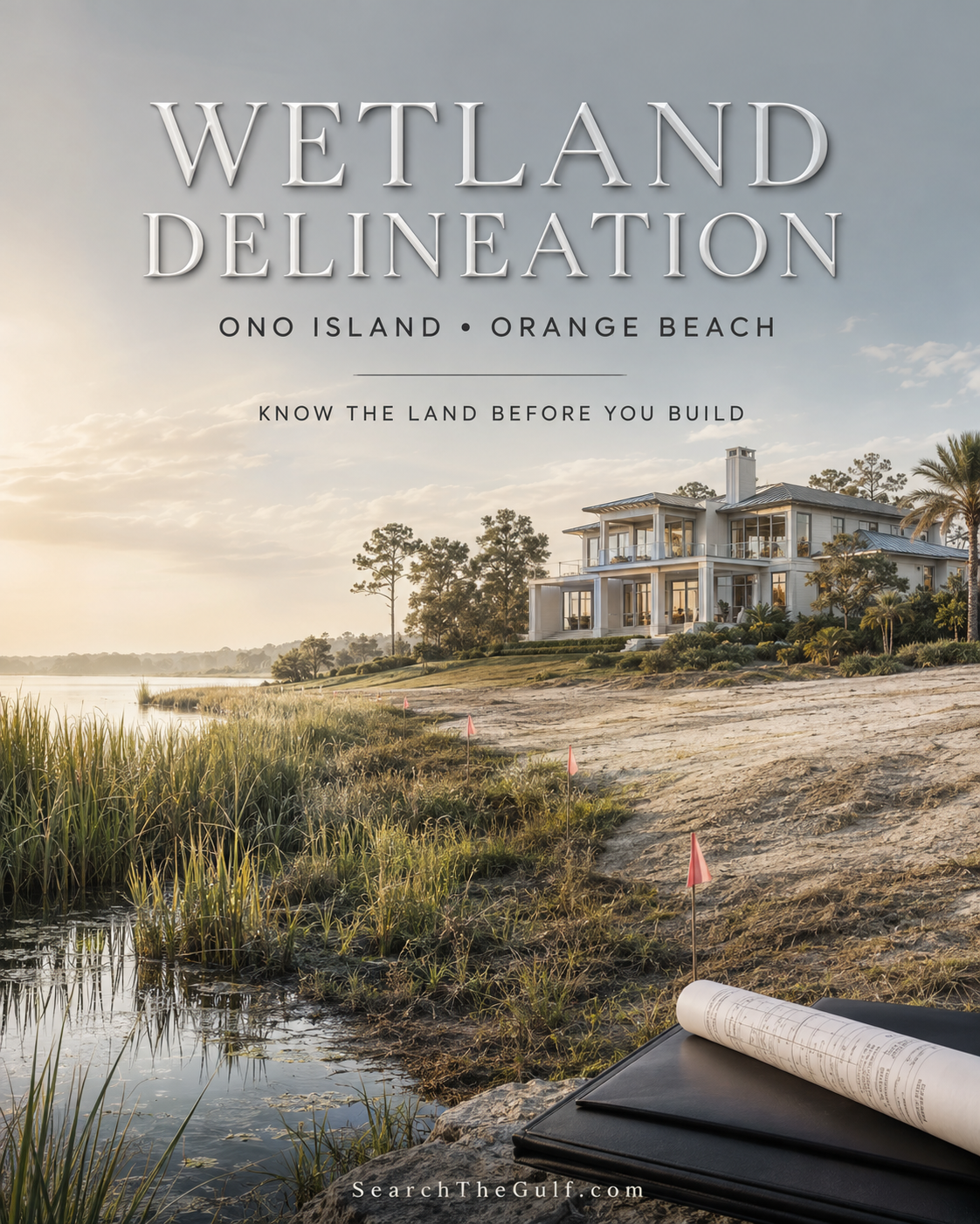
A vacant lot may be beautifully wooded, close to the water and perfectly positioned for coastal living. Before selecting house plans, estimating construction costs or deciding what the property is worth, however, we need to understand the land itself.
If wetlands may be present, a professional wetland delineation can provide an essential piece of that answer. In plain language, a wetland delineation identifies and maps where wetlands end and uplands begin. It helps a buyer or seller understand how the property’s environmental characteristics may affect the placement of a home, driveway, pool, utilities, grading, fill, drainage improvements and other construction.
It does not automatically determine that a property is buildable or unbuildable. It does replace guesswork with meaningful information—and that is enormously valuable when making a Gulf Coast real estate decision.
What Is Considered a Wetland?
Many people assume that a wetland must look like a marsh, swamp or standing pond. That is not always the case. A property can appear relatively dry on the day it is viewed and still contain wetlands. Conversely, an area that temporarily holds rainwater is not necessarily a wetland.
Wetland scientists generally evaluate three primary indicators:
1. Wetland Vegetation
The consultant identifies plants that are adapted to growing in wet or frequently saturated conditions.
2. Wetland Soils
The consultant examines the soil for characteristics that develop when the ground remains saturated for prolonged periods. These are known as hydric soils.
3. Wetland Hydrology
The consultant looks for evidence that water is present at or near the surface long enough to create wetland conditions. Indicators may include soil saturation, water marks, sediment deposits and drainage patterns.
Under the methodology used by the U.S. Army Corps of Engineers, wetland determinations commonly involve evidence from all three categories. That is why an online map, a quick walk across the lot or an opinion based solely on the vegetation is not enough. Wetland identification is a scientific field assessment.
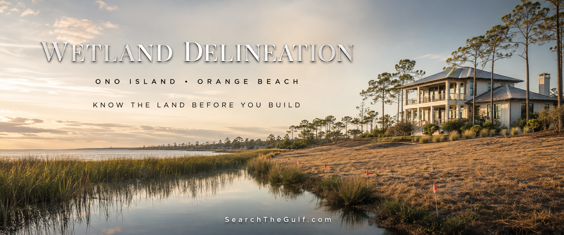
What Happens During a Wetland Delineation?
A professional wetland delineation generally begins before the consultant arrives at the property.
Why a Current Survey Is So Important
Once the environmental consultant marks the wetland boundary, I often recommend having a licensed surveyor locate those flags and add the wetland line to a current boundary or topographic survey.
This allows the buyer, architect, builder and engineer to evaluate several important items together:
- Property boundaries and required building setbacks
- Wetland boundaries and approximate upland area
- Easements, rights-of-way and utilities
- Elevation contours and flood information
- Proposed home, garage and driveway placement
- Pool, outdoor-living and landscaping areas
- Drainage and site-development requirements
A wetland flag in the woods is helpful. A wetland line shown on a current survey and compared with a conceptual site plan is far more useful.
Wetland Delineation Versus Geotechnical Investigation
These are two entirely different services, and a coastal buyer may benefit from both.
| Wetland Delineation | Geotechnical Investigation |
|---|---|
| Identifies wetlands and their boundaries. | Evaluates subsurface soil and bearing conditions. |
| Studies vegetation, wetland soils and hydrology. | Uses soil borings or other testing at depth. |
| Helps determine where construction may be environmentally restricted. | Helps engineers evaluate foundations, pilings and site preparation. |
| May support wetland permitting and agency review. | Supports structural and foundation design. |
Neither service replaces the other. Neither replaces a boundary survey, topographic survey, elevation certificate, structural design or governmental approval. Buyers considering new construction can explore more of my local resources through the Search The Gulf building guide.
Does Finding Wetlands Mean the Property Is Unbuildable?
No. Wetlands do not automatically make a homesite unbuildable. Many properties on Ono Island, in Orange Beach and throughout the Gulf Coast contain wetlands while retaining an adequate upland area for a home.
A delineation may show that:
- No wetlands are present;
- Wetlands are limited to one portion of the property;
- A sufficient upland building envelope remains;
- The house will fit, but the driveway, pool or utilities should be repositioned;
- A narrower or differently configured home would make better use of the site;
- A raised or piling-supported design may be appropriate;
- Limited wetland impacts may require regulatory approval; or
- The proposed plan is impractical without significant permitting, mitigation or additional expense.
The wetland’s location in relation to the road, setbacks, property lines and desired home design can matter just as much as its total acreage. A small wetland crossing the only practical driveway entrance could have a meaningful effect on construction. A larger wetland along the rear boundary may still leave a generous upland building area closer to the road.
The map—not merely the percentage—is what tells the story.
Why It Is Advantageous to a Buyer
For a buyer, a wetland delineation is primarily about understanding risk before closing. It can help determine whether the buyer’s complete vision is realistic—not only the house, but also the garage, driveway, pool, utilities, drainage and outdoor-living spaces.
A delineation can help a buyer:
- Confirm the approximate usable upland area;
- Determine whether the desired home may fit;
- Evaluate driveway, pool and utility placement;
- Identify potential environmental permitting requirements;
- Estimate additional engineering or mitigation expenses;
- Provide better information to the architect and builder;
- Avoid relying exclusively on generalized online wetland maps;
- Compare one homesite more accurately with another; and
- Make a better-informed decision before the due-diligence period expires.
A gorgeous view can make it easy to imagine the finished home. My role is also to help the buyer ask what must happen between purchasing the lot and enjoying that finished view.
Buyers can search current Ono Island real estate and homesites, Orange Beach real estate and Gulf Coast waterfront homes and land by waterway through SearchTheGulf.com.
Why It Is Advantageous to a Seller
A seller can also benefit from ordering a delineation before placing a vacant homesite on the market. Uncertainty can be one of the greatest obstacles to selling coastal land. When buyers do not understand the usable building area, they may assume the worst, delay making an offer or require a lengthy investigation period.
A seller-provided delineation may help:
- Identify the apparent upland building area;
- Reduce uncertainty for prospective buyers;
- Give builders better information for preliminary concepts;
- Distinguish the property from competing homesites;
- Make conversations about value more fact-based;
- Shorten parts of the buyer’s investigation process; and
- Reveal potential challenges before they surface unexpectedly during a transaction.
If the delineation identifies substantial wetlands or a constrained building envelope, that information may affect value and marketability and may become material information that should be disclosed. Even so, I would rather understand and thoughtfully explain a property’s characteristics than market it based upon assumptions.
Is a Wetland Delineation Required?
A wetland delineation is not automatically required simply because vacant land is being bought or sold. It may become necessary when:
- Wetlands are suspected;
- A buyer needs to confirm the building envelope;
- A lender, engineer, architect or builder requests it;
- The proposed project may disturb or fill wetlands;
- A federal, state or local agency requests environmental documentation;
- A permit application requires the wetland boundary;
- An existing map or report is outdated or inconclusive; or
- The owner requests a jurisdictional determination from the U.S. Army Corps of Engineers.
A buyer may not be legally required to order a delineation before purchasing the property, but it may still be one of the smartest due-diligence decisions the buyer makes.
Does the Delineation Itself Require a Permit?
The inspection and delineation generally do not require a construction permit. The consultant is observing conditions, examining small soil samples, collecting data and flagging a boundary.
A buyer does need permission to access property owned by someone else. The purchase agreement should provide appropriate inspection access, or the seller should grant authorization before a consultant enters the property.
Permits become an issue when the owner proposes work that may affect wetlands or regulated waters.
What Work May Require Environmental Permits?
Activities that may trigger federal, state or local review include:
- Placing fill for a house pad or driveway;
- Mechanized clearing or grading in wetlands;
- Excavating wetland areas or altering drainage;
- Installing culverts, utilities or wetland crossings;
- Dredging a boat-access area;
- Stabilizing a shoreline; and
- Constructing certain docks, piers or boathouses over regulated waters.
At the federal level, permits involving dredged or fill material in jurisdictional wetlands are commonly associated with Section 404 of the Clean Water Act and administered by the U.S. Army Corps of Engineers. Work in navigable waters may also require authorization under Section 10 of the Rivers and Harbors Act.
In Alabama, a federal permit may require Section 401 Water Quality Certification from the Alabama Department of Environmental Management. Coastal-program review may also apply within Baldwin County’s coastal area.
The City of Orange Beach may separately require building, land-disturbance, floodplain, drainage, coastal-use, dock or other development approvals. On Ono Island, the owner may also need approval from the Ono Island Architectural Control Committee.
These approvals do not replace one another. Association approval is not a federal wetland permit, and a favorable federal determination is not a City building permit.
Delineation Versus Jurisdictional Determination
A private environmental consultant can identify and map wetlands, but the consultant does not make the final federal decision regarding jurisdiction. That authority belongs to the U.S. Army Corps of Engineers.
A Corps jurisdictional determination generally addresses two questions:
- What aquatic resources, including wetlands, are present?
- Which of those resources are subject to federal jurisdiction?
Not every scientifically identified wetland is necessarily federally jurisdictional under current law. If a property’s development depends upon a particular area being treated as nonjurisdictional, I recommend discussing an Approved Jurisdictional Determination with the environmental consultant.
A consultant’s delineation is often the starting point, but it should not be advertised as “Corps approved” unless the Corps has actually issued the applicable determination.
What Does a Wetland Delineation Cost?
Pricing varies with the size of the property, vegetation, accessibility, mapping accuracy and requested deliverables. The following figures are approximate planning ranges, not guaranteed fees.
| Service | Approximate Planning Range |
|---|---|
| Preliminary wetland screening or site reconnaissance | $500–$1,250 |
| Full delineation for a small residential lot | $1,500–$3,500 |
| Complex site, dense vegetation, formal report or regulatory support | $3,000–$6,000 or more |
| Licensed surveyor locating flags and adding the line to a survey | Often $750–$2,000 additional |
| Permitting, Corps submittal, mitigation planning or extended agency coordination | Quoted separately |
A low-cost screening letter may serve a useful preliminary purpose, but it is not necessarily equivalent to a complete field delineation with boundary flagging, data sheets, GPS mapping and regulatory support.
Wetland Consultants Serving Coastal Alabama
The following firms advertise wetland delineation, environmental permitting or related services in coastal Alabama or the nearby Gulf region. This list is provided as a starting point rather than an endorsement. Buyers and sellers should confirm current availability, qualifications, insurance, scope and pricing.
EcoSolutions, Inc.
Montrose and Baldwin County area
Phone: 251-621-5006
ecosolutionsinc.net
Thompson Engineering / Barry A. Vittor & Associates
Mobile environmental and engineering services
Phone: 251-666-2443
thompsonengineering.com
Bay Environmental LLC
Orange Beach area
Phone: 251-554-8796
Wetland delineation services
Northern Gulf Environmental Consulting
Northwest Florida and the Gulf region
northern-gulf.com
Cypress Environment & Infrastructure
Alabama and the Gulf South
Phone: 228-596-1580
cypressei.com
What Should I Ask When Requesting a Quote?
To receive a meaningful proposal, I recommend providing the property address, parcel number, current survey, approximate acreage, due-diligence deadline, proposed use, preliminary plans, known wet areas and any previous reports or permits.
I would also ask:
- Does the quote include field flagging?
- Will GPS coordinates be provided?
- Will I receive a map or aerial exhibit?
- Are wetland and upland data sheets included?
- Will the report estimate wetland acreage?
- Is survey coordination included?
- Is the work prepared according to current Corps methodology?
- Can the consultant assist with a jurisdictional determination?
- Can the consultant assist with permitting if impacts cannot be avoided?
- How long will the fieldwork and report take?
My Recommended Coastal Homesite Due Diligence
Why This Matters on the Alabama Gulf Coast
Coastal land is rarely one-size-fits-all. Two homesites on the same street can have very different elevations, soils, drainage conditions, vegetation and usable building areas. That is particularly true of waterfront, canal-front, marsh-adjacent and naturally wooded properties.
As an Ono Island homeowner and real estate advisor, I appreciate the natural beauty that makes these properties so special. Preserving that character while making informed building decisions requires a thoughtful balance of vision, professional evaluation and respect for the permitting process.
A wetland delineation may not be the most glamorous part of building a coastal home, but it can be one of the most important. It helps everyone begin with better information:
- The buyer better understands what may be possible.
- The seller better understands how to present the property.
- The architect understands the available footprint.
- The builder understands the site constraints.
- The engineer understands where further investigation may be needed.
- The regulatory agencies receive clearer documentation.
That is how a beautiful idea begins to become a responsible, buildable plan.
My Final Thoughts
A wetland delineation does not tell us everything about a Gulf Coast homesite. It does not replace a survey, soil borings, engineering, flood review, title work, architectural planning or governmental approval. What it provides is a clear starting point.
For a buyer, it can prevent an expensive assumption. For a seller, it can reduce uncertainty and make the property easier to understand. For both parties, it creates a more informed conversation about value, design and development potential.
When I help a customer evaluate a homesite on Ono Island, in Orange Beach or elsewhere along the Gulf Coast, I want us to look beyond the view and ask the right questions about the land. The goal is not simply to purchase or sell a beautiful property. The goal is to understand what can responsibly and realistically be created there.
Explore Gulf Coast Homes and Homesites
Visit SearchTheGulf.com, the Gulf Coast’s premier website for searching real estate listings, and contact me when you are ready for knowledgeable local guidance.
Meredith
Gulf Coast Real Estate Advisor
meredith@searchthegulf.com
About Meredith
Meredith has been a successful, full-time real estate advisor specializing in resort and coastal properties for more than 25 years. Licensed in both Alabama and Florida, she is proud to call the Gulf Coast—and beautiful Ono Island—home. Her local knowledge, extensive experience and genuine love for the coastal lifestyle shape the thoughtful guidance she provides to every buyer and seller.
 #searchthegulf #meredithamon #becausewelivehere
 Search Coastal Alabama Homes and Real Estate For Sale, $100,000 - $200,000



.gif)

Ono Harbour at Sunset | My Sanctuary on Ono Island
Ono Harbour · Ono Island
Ono Harbour at Sunset
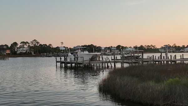
Salt air. Marsh grass. Pretty boats on still water. Soft peach light over the harbour—my sanctuary on Ono Island, so close to Orange Beach.
Ono Harbour Homes Walking the Dock
A Favorite Corner of the Island
Ono Harbour is one of my…
2026 MBGFC Labor Day Invitational | Orange Beach | Search The Gulf

Cotton Bayou Marina Boats | Orange Beach Near Terry Cove
Ask A Question or Sign Up To See New Real Estate Listings Before Your Competition
When it comes to finding the home of your dreams in a fast-paced market, knowing about new listings as soon as they are available is part of our competitive advantage.Sign up to see new listings in an area or specific community. Contact Meredith with any questions you may have.
Enjoy this blog post? Click here to subscribe for updates
Leave A Comment